Following the launch of trove.scot in February 2025 we are now planning the retiral of some of our webservices. Canmore will be switched off on 24th June 2025. Information about the closure can be found on the HES website: Retiral of HES web services | Historic Environment Scotland
Monymusk
Burgh (Medieval), Village (Period Unassigned)
Site Name Monymusk
Classification Burgh (Medieval), Village (Period Unassigned)
Canmore ID 76033
Site Number NJ61NE 26
NGR NJ 6846 1520
NGR Description Centred NJ 6846 1520
Datum OSGB36 - NGR
Permalink http://canmore.org.uk/site/76033
- Council Aberdeenshire
- Parish Monymusk
- Former Region Grampian
- Former District Gordon
- Former County Aberdeenshire
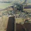
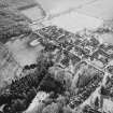
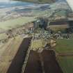
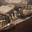
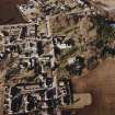
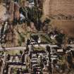
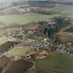
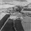
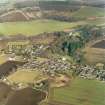
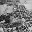
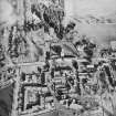
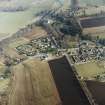
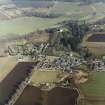
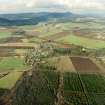
Monymusk Village, laid out 1716, Sir Archibald Grant. Although Monymusk is the classic estate village, it was more organically grown than it seems at first sight. When first laid out with a long, rectangular central space, this green was
used as a cattle pound by Banffshire drovers and the houses were of clay-bonded stone and heather-thatched. They were rebuilt largely in the 1860s and gradually Tudorised, 1889-1902, by Sir Arthur Grant.
Taken from "Aberdeenshire: Donside and Strathbogie - An Illustrated Architectural Guide", by Ian Shepherd, 2006. Published by the Rutland Press http://www.rias.org.uk
NJ61NE 26 centred 6846 1520
Monymusk was erected a burgh of barony (Forbes of Monymusk) 20 January 1588/9, and erected a burgh of regality, 23 October 1612.
G S Pryde 1965
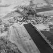
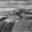
Visible on air photographs AAS/93/14/G28/7-8. Copies held by Grampian Regional Council.
Information from M Greig, Grampian Regional Council, March 1994.
This planned village evolved during the age of improvement, the village square being laid out on the axis of the church by Sir Archibald Grant in 1816. The centre of the square formed a cattle pound for drovers and the original houses were of clay-bonded stone thatched woth heather. The village was almost entirely rebuilt in the 19th century and gradually tudorised by Sir Arthur Grant between 1889 and 1902.
Air photographs: AAS/93/14/G27/23-30, flown 27 October 1993.
(Newspaper references cited).
NMRS, MS/712/56.


