
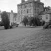
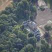
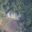
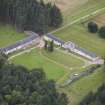
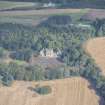
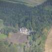
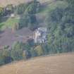
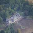
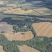
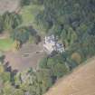
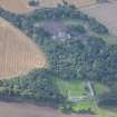
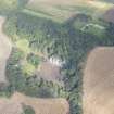
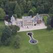
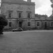
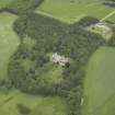
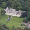
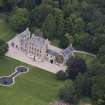
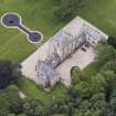
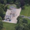
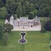
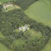
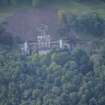
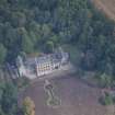
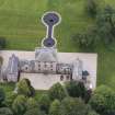
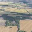
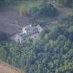
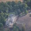
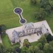
Letterfourie House


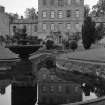
Country House (18th Century) (1773), Fountain(S) (19th Century)
Site Name Letterfourie House
Classification Country House (18th Century) (1773), Fountain(S) (19th Century)
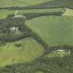
Alternative Name(s) Letterfourie House Policies
Canmore ID 75899
Site Number NJ46SW 35
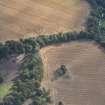
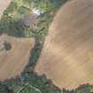
NGR NJ 44634 62300
Datum OSGB36 - NGR
Permalink http://canmore.org.uk/site/75899


- Council Moray
- Parish Rathven
- Former Region Grampian
- Former District Moray
- Former County Banffshire
NJ46SW 35.00 44634 63200
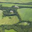
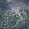
NJ46SW 35.01 44724 62556 Home Farm and Granary
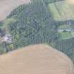
NJ46SW 35.02 44297 62778 North (main) Lodge gate piers and Gates
NJ46SW 35.03 4353 6247 South Lodge
NJ46SW 35.04 4358 6238 Craigmin Cottages
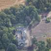
NJ46SW 35.05 44835 61917 Walled Garden and Garden Cottage
NJ46SW 35.06 44103 62126 Craigmin Bridge
NJ46SW 35.07 44625 62275 Fountain 1
NJ46SW 35.08 44617 62254 Fountain 2
NMRS REFERENCE
Architect: Robert Adam

