
Pricing Change
New pricing for orders of material from this site will come into place shortly. Charges for supply of digital images, digitisation on demand, prints and licensing will be altered.
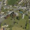
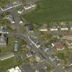
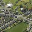
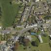
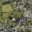
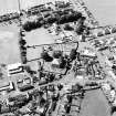
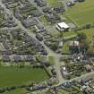
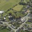
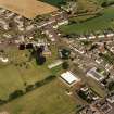
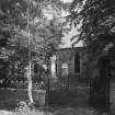
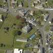
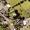
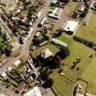
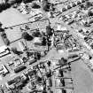
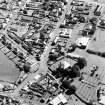
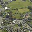
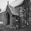
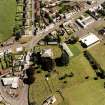
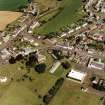
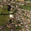
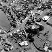
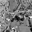
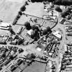
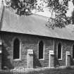
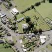
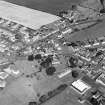
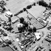
Tarbolton, General


Burgh (Medieval), Village (Period Unassigned)
Site Name Tarbolton, General
Classification Burgh (Medieval), Village (Period Unassigned)
Canmore ID 75496
Site Number NS42NW 28
NGR NS 4311 2718
NGR Description Centred on NS 4311 2718
Datum OSGB36 - NGR
Permalink http://canmore.org.uk/site/75496


- Council South Ayrshire
- Parish Tarbolton
- Former Region Strathclyde
- Former District Kyle And Carrick
- Former County Ayrshire
EXTERNAL REFERENCE
Architect: Tarbolton - maps of the Turnpike and Parish Roads.
Plans: at Darley Hay Partnership, Ayr.

