Accessibility

Font Size

100% 150% 200%

Background Colour

Default Contrast
Close Reset

Dundee, Camperdown Street, Victoria Dock, East Graving Dry Dock

Dock (19th Century)

Site Name Dundee, Camperdown Street, Victoria Dock, East Graving Dry Dock

Classification Dock (19th Century)

Alternative Name(s) East Graving Dock; Dundee Harbour; Port Of Dundee; River Tay; Firth Of Tay

Canmore ID 72772

Site Number NO43SW 122

NGR NO 41151 30413

Datum OSGB36 - NGR

Permalink http://canmore.org.uk/site/72772

Ordnance Survey licence number AC0000807262. All rights reserved.
Canmore Disclaimer. © Bluesky International Limited 2025. Public Sector Viewing Terms

Toggle Aerial | View on large map

Digital Images

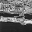
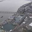
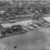
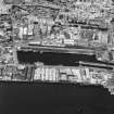
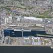
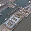
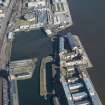
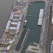
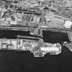
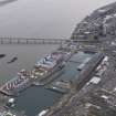
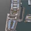
Dundee, general view, showing Camperdown Dock and Queen Elizabeth Wharf.  Oblique aerial photograph taken facing north-east.
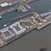
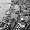
Dundee, general view, showing Camperdown Dock and Queen Elizabeth Wharf.  Oblique aerial photograph taken facing north-east. Dundee, general view, showing Camperdown Dock and Queen Elizabeth Wharf.  Oblique aerial photograph taken facing north-east.General oblique aerial view of the new development in Dundee harbour centred on the Unicorn, taken from the ENE.Dundee, general view, showing Camperdown Dock and Queen Elizabeth Wharf.  Oblique aerial photograph taken facing north.Dundee, Dundee Harbour, Camperdown Dock.
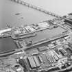
Oblique aerial view from South-East of Victoria Dock, Camperdown Dock and the Queen Elizabeth Wharf.Dundee, Dundee Harbour, Camperdown Dock.
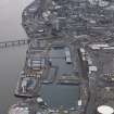
Oblique aerial view from South-East of Camperdown Dock and King George V Wharf.Dundee, Dundee Harbour, Camperdown Dock.
Oblique aerial view from North-East of Victoria Dock and Camperdown Dock.View from WSWView from EGeneral oblique aerial view of the new development in Dundee harbour, taken from the SSW.General oblique aerial view of the new development in Dundee harbour, taken from the ENE.General oblique aerial view of the new development in Dundee harbour, taken from the NE.Dundee, general view, showing Victoria Dock and Queen Elizabeth Wharf.  Oblique aerial photograph taken facing north.View from W showing lock gate.Dundee, Dundee Harbour, Camperdown Dock.
Oblique aerial view from North-East of Victoria Dock and Camperdown Dock.Dundee, general view, showing Camperdown Dock and Queen Elizabeth Wharf.  Oblique aerial photograph taken facing north-east. Dundee, Dundee Harbour, Camperdown Dock.
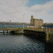
Oblique aerial view from North-East of Victoria Dock and Camperdown Dock.Oblique aerial view.View from EGeneral oblique aerial view of the new development in Dundee harbour, taken from the SW.View from ENE showing Pump House and surviving railtrack in setts.View from SSW showing entrance to the Dry Dock with transit sheds 26, 27 and the Harbour Warehouse in the background.Oblique aerial view of Camperdown Dock, Victoria Dock and East Graving Dock, looking ENE.View from SSW showing entrance to the Dry Dock with transit sheds 26, 27 and the Harbour Warehouse in the background.General oblique aerial view of the new development in Dundee harbour centred on the Victoria Docks, taken from the ENE.View from WSWDetail of Lock Gate from SE.Dundee, Dundee Harbour, Camperdown Dock.
Oblique aerial view from South-East of Victoria Dock, Camperdown Dock and the Queen Elizabeth Wharf.Dundee, Dundee Harbour, Camperdown Dock.
Oblique aerial view from North-East of Victoria Dock and Camperdown Dock.View from SSW showing entrance to the Dry Dock with transit sheds 26, 27 and the Harbour Warehouse in the background.View from W showing lock gate.View from W showing lock gate.View from WSWGeneral oblique aerial view of the new development in Dundee harbour, taken from the NE.General oblique aerial view of the new development in Dundee harbour, taken from the NE.View from ENE showing Pump House and surviving railtrack in setts.Detail of Lock Gate from SE.General oblique aerial view of the new development in Dundee harbour, taken from the SE.View from E

Administrative Areas

  • Council Dundee, City Of
  • Parish Dundee (Dundee, City Of)
  • Former Region Tayside
  • Former District City Of Dundee
  • Former County Angus

Archaeology Notes

NO43SW 122.00 41151 30413

East Graving Dock [NAT]

OS (GIS) AIB, April 2006.

NO43SW 122.01 41216 30418 Pump House

For Victoria Dock (centred NO 40958 30366) and associated buildings, see NO43SW 89.00.

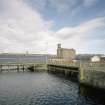
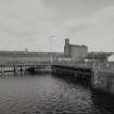
The entrance-gate at the W end of this dock is a rare example of a swinging caisson type.

Information from RCAHMS (RJCM), 18 April 2006.

Activities

Publication Account (2013)

EAST GRAVING DOCK: Built in 1873 and measuring 157.28m (516ft )

in length, this dock has a floating caisson dock gate and stepped ashlar sides. Its pump house, containing modern pumps, has a dramatic lean

because it stands on made-up ground. The timber storage sheds south of these have been replaced by new apartments. The West Dry Dock depicted

in the Telford Atlas, is filled in, its site the car park and landscaping to the south of the Apex Hotel, Dock Road.

M Watson, 2013

References

MyCanmore Image Contributions


Contribute an Image

MyCanmore Text Contributions