Niddry Castle
Cultivation Terrace(S) (Period Unassigned), Hollow Way(S) (Period Unassigned)
Site Name Niddry Castle
Classification Cultivation Terrace(S) (Period Unassigned), Hollow Way(S) (Period Unassigned)
Canmore ID 72668
Site Number NT07SE 41
NGR NT 09 74
Datum OSGB36 - NGR
Permalink http://canmore.org.uk/site/72668
- Council West Lothian
- Parish Kirkliston (West Lothian)
- Former Region Lothian
- Former District West Lothian
- Former County West Lothian
NT07SE 41 09 74
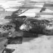
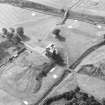
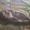
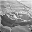
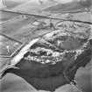
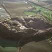
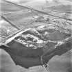
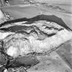
Two hollow-ways, ascend the slope E of Niddry Castle, one from the
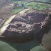
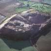
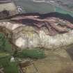
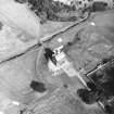
ford over the Niddry Burn at NT 0965 7445, the other from a point more on the E. They are both 3m wide and of varying depth. They meet at NT 0955 7440 and curve round to the S reaching the present drive to the castle at NT 0953 7435. They are cut by the walls of the 17th century orchard and in turn cut the eroded remains of two cultivation terraces on the NE slope of the ridge.
Sponsors: COWL (Bathgate), CBT (Edinburgh)
C A Kelly 1989.


