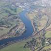
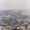
Perth, Friarton Bridge
Road Bridge (Period Unassigned)
Site Name Perth, Friarton Bridge
Classification Road Bridge (Period Unassigned)
Alternative Name(s) River Tay
Canmore ID 70057
Site Number NO12SW 221
NGR NO 13074 21652
Datum OSGB36 - NGR
Permalink http://canmore.org.uk/site/70057
- Council Perth And Kinross
- Parish Kinfauns
- Former Region Tayside
- Former District Perth And Kinross
- Former County Perthshire
NO12SW 221 13074 21652
Location formerly cited as NO 1317 2185 to NO 1283 2122.
For nearby Craigend interchange (NO 122 205), see NO12SW 195.
Friarton Bridge [NAT]
OS 1:10,000 map, 1994.
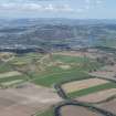
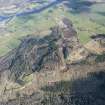
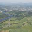
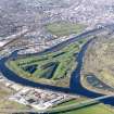
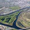
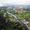
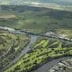
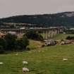
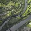
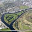
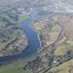
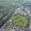
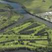
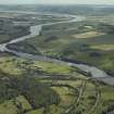
This bridge carries the M90 motorway over the River Tay to the SE of Perth (NO12SW 100), at a point where the river forms the boundary between the parishes of Perth (to the S) and Kinfauns (to the N). It also the Perth-Dundee railway line and the westbound carriageway of the A85 public road, in both cases to the N of the river. The S end of the bridge is significantly higher than the N.
The location assigned to this record defines the centre of the span. The avaiable map evidence suggests that the structure extends from NO c. 13173 21880 to NO c. 12831 21224.
Information from RCAHMS (RJCM), 31 May 2006.
Construction (1975 - 1978)
Niine-span steel bridge, 30m above the River Tay. Designed by Freeman Fox and Partners for the Scottish Development Department. Main contractor was Cleveland Bridge and Engineering Company. and the civil engineering contractor, Miller Construction Northern Ltd.
R Paxton and J Shipway 2007
Project (2007)
This project was undertaken to input site information listed in 'Civil engineering heritage: Scotland - Lowlands and Borders' by R Paxton and J Shipway, 2007.
Publication Account (2007)
This elegant nine-span steel bridge, erected from 1975–78 on the M85 road, soars some 30m above the floor of the Tay Valley for more than half a mile with spans varying from 63–174 m. These are many times greater than the Tay Viaduct’s spans of 114 years earlier, such had been the development of bridge engineering over this period.
The bridge, which is evocative of engineering ability and skill, derives its strength from independent twin 4.3m wide steel box-girders from 2.7–7.5m deep. The girders were made at Darlington and Chepstow in lengths of from 10.5– 25 m, lifted into place and welded together. Each boxgirder carries a 7.3m two-lane carriageway. The slender reinforced concrete piers on which the girders rest are of 4:5 by 1:25m cross-section and most are founded on piles up to 40m long down to gravel or bed rock.
The bridge was designed by Freeman Fox and Partners (Resident Engineer H. Binnie) for the Scottish Development Department. The main contractor was Cleveland Bridge & Engineering Co. Ltd and the civil engineering contractor, Miller Construction Northern Ltd. The cost was about £8 million excluding the multi-level northern approach and junction constructed by Shellabear Price (Scotland) Ltd for about £3 million.
R Paxton and J Shipway
Reproduced from 'Civil Engineering heritage: Scotland - Lowlands and Borders' with kind permission of Thomas Telford Publishers.


