Pricing Change
New pricing for orders of material from this site will come into place shortly. Charges for supply of digital images, digitisation on demand, prints and licensing will be altered.
Westerhall
House (18th Century), Tower House (Medieval)
Site Name Westerhall
Classification House (18th Century), Tower House (Medieval)
Canmore ID 67608
Site Number NY38NW 10
NGR NY 31941 89280
Datum OSGB36 - NGR
Permalink http://canmore.org.uk/site/67608
First 100 images shown. See the Collections panel (below) for a link to all digital images.
- Council Dumfries And Galloway
- Parish Westerkirk
- Former Region Dumfries And Galloway
- Former District Annandale And Eskdale
- Former County Dumfries-shire
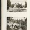
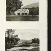
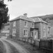
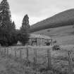
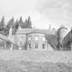
17th/18th century house set within NIDL, located on slightly elevated south-west facing slopes above River Esk. Location has views to south-east and north-west across to Boyken Burn and along Esk valley, although views from house and nearby garden terrace screened by woodland planting of NIDL. Main approach to house is from north, where house backdropped by hills of Boyken Burn / Esk valley beyond. Relatively secluded setting localised to Esk valley; house not prominent feature in local landscape.
information from Héléna Gray, (CFA Archaeology Ltd), August 2015
OASIS ID: cfaarcha1-278420
NY38NW 10 31941 89280
(NY 3193 8926) Westerhall (NAT)
OS 6" map (1957)
For Westerhall House, North Lodge see NY39SW 32
For Westerhall Farm (former Stables) see NY38NW 65
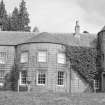
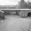
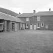
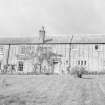
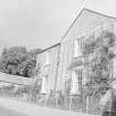
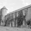
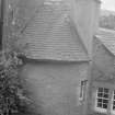
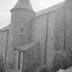
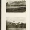
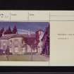
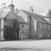
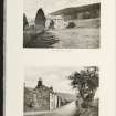
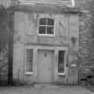
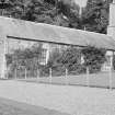
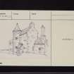
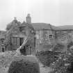
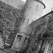
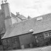
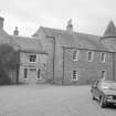
Westerhall is a 2-storey country house of late 18th and early 19th century origins (SDD List 1966), grown from a fortalice of probably late 16th century date. It is difficult to trace the original plan, as the house has been largely rebuilt after having been burnt twice. The two remaining ancient portions are some distance apart, modern work intervening, giving the impression of a courtyard plan.
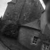
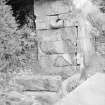
The least altered portion is a three-storeyed block with a projecting, circular stair tower, occupying the NW corner of an open square. The roof and gables have been altered, and a porch has been added. The other original work, now reduced by at least one storey, is in the N half of the E wing; the basement of this part is altered.
N Tranter 1965
Westerhall is as described and is well preserved.
Surveyed at 1/10,000.
Visited by OS (MJF) 2 September 1979.
NY38NW 10 31941 89280
NMRS REFERENCE
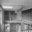
House restored after fire, c. 1955.
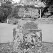
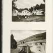
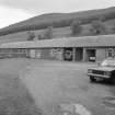
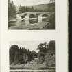
Photographic Survey (1955)
Photographic survey by the Scottish National Buildings Record in 1955.
Note (1997)
NY 3193 8923 NY38NW 10
Listed as tower.
RCAHMS 1997.
Reference (2005)
NY 319 893 Outline analytical assessment undertaken in January 2005 in advance of proposed alterations revealed a very complex evolutionary history from its origins as a 16th- or 17th-century laird's house (NY38NW 3). At least ten constructional phases and other events in the history of the structure were defined.
T Addyman 2005
Project (29 May 2014)
An archaeological evaluation was undertaken by CFA Archaeology Ltd, a desk based assessment and walk over survey (May 29th 2014) was conducted
The historic environment record within the Site Boundary is relatively limited, although there is some potential for the proposed development site to contain previously unknown heritage assets from at least the later prehistoric period onwards, given the historic landscape character of the wider area. Taking this into account, the archaeological potential of the proposed development site is considered to be low.
A summary assessment, on a site by site basis, of the predicted effects on the settings of assets within a 10km radius where the blade tip ZTV indicates that there would be theoretical views of one or more turbines
information from Héléna Gray, (CFA Archaeology Ltd), August 2015
OASIS ID: cfaarcha1-278420


