Pricing Change
New pricing for orders of material from this site will come into place shortly. Charges for supply of digital images, digitisation on demand, prints and licensing will be altered.
Portrack House
Temporary Camp (Roman)(Possible)
Site Name Portrack House
Classification Temporary Camp (Roman)(Possible)
Canmore ID 65943
Site Number NX98SW 56
NGR NX 94109 83187
Datum OSGB36 - NGR
Permalink http://canmore.org.uk/site/65943
- Council Dumfries And Galloway
- Parish Holywood
- Former Region Dumfries And Galloway
- Former District Nithsdale
- Former County Dumfries-shire
NX98SW 56 centred 9412 8317.
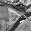
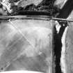
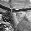
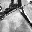
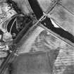
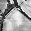
Aerial photography (RCAHMSAP 1983 & 1984) has identified a possible Roman temporary camp approximately 270m to the NE of Portrack House on the S bank of the River Nith. The cropmark appears as a length of ditch approximately 130m, with the possible SE angle at NX c. 9412 8317. Within the possible temporary camp is the cropmark of a rectilinear enclosure (NX98SW 45).
Information from RCAHMS (GJW), 25 February 1998.
Publication Account (17 December 2011)
This possible camp lies on level ground on the south side of the River Nith, across from the Roman forts and camps at Dalswinton. First recorded in 1983 by RCAHMS as a cropmark from the air, the remains consist of 120m of the south-eastern side and at least 60m of the southwest. The corner angle between the two is unclear and a further (non-Roman) rectilinear enclosure lies within this enclosure.
R H Jones.
Aerial Photographic Transcription (10 May 2012)


