Pricing Change
New pricing for orders of material from this site will come into place shortly. Charges for supply of digital images, digitisation on demand, prints and licensing will be altered.
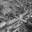
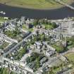
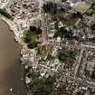
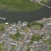
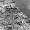
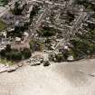
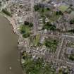
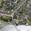
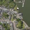
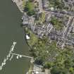
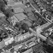
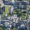
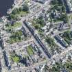
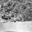
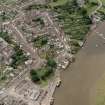
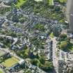
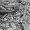
Kirkcudbright, General
Burgh (Medieval), Town (Period Unassigned)
Site Name Kirkcudbright, General
Classification Burgh (Medieval), Town (Period Unassigned)
Canmore ID 64110
Site Number NX65SE 67
NGR NX 6859 5127
NGR Description Centred NX 6859 5127
Datum OSGB36 - NGR
Permalink http://canmore.org.uk/site/64110
- Council Dumfries And Galloway
- Parish Kirkcudbright
- Former Region Dumfries And Galloway
- Former District Stewartry
- Former County Kirkcudbrightshire
NX65SE 67 centred 6859 5127
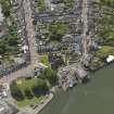
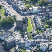
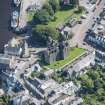
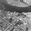
The first notice of a burgh of Kirkcudbright occurs in 1330. Pryde believed that Kirkcudbright had been a royal burgh which David II granted Archibald Douglas when the latter became Lord of Galloway about 1369, although there is no charter evidence extant. The burgh remained in Douglas hands until the 1455 forfeiture of that family. A charter of James II, dated 26 October 1455, once again made Kirkcudbright a 'free burgh', a grant which was confirmed in 1633 and reconfirmed in 1641.
J D Marwick 1866; J Stuart and G Burnett 1878; G S Pryde 1965; SBS Kirkcudbright 1977.
EXTERNAL REFERENCE:
NATIONAL LIBRARY
Earnock Manuscripts 11.6.: 1 engraving.
EXTERNAL REFERENCE:
SCOTTISH MOTOR TRANSPORT
December 1940.
EXTERNAL REFERENCE:
COUNTRY LIFE
27 August 1959.
The exact location in Kirkcudbright of the sundial depicted in MS 5741/10/36 ('Melville Dial') has not been recorded.
(A Cassells, 13 May 2010)
Photographic Survey (1941 - 1953)
Photographs of buildings in Kirkcudbright likely taken by or on behalf of the National Buildings Record Scottish Council between 1941-53.
Photographic Survey (June 1964)
Photographic survey of buildings in Kirkcudbright, by the Scottish National Buildings Record in June 1964.


