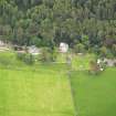
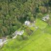
Barholm
Building(S) (Medieval) - (Post Medieval)
Site Name Barholm
Classification Building(S) (Medieval) - (Post Medieval)
Alternative Name(s) Barholm Castle
Canmore ID 63744
Site Number NX55SW 45
NGR NX 5207 5297
Datum OSGB36 - NGR
Permalink http://canmore.org.uk/site/63744
- Council Dumfries And Galloway
- Parish Kirkmabreck
- Former Region Dumfries And Galloway
- Former District Wigtown
- Former County Kirkcudbrightshire
NX55SW 45 5207 5297
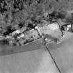
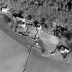
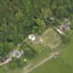
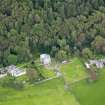
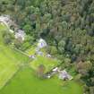
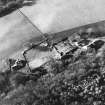
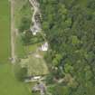
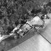
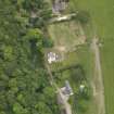
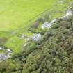
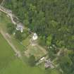
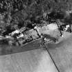
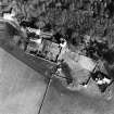
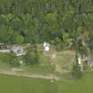
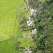
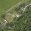
Seven large flat stones observed scattered between Barholm Castle (NX55SW 4) and the farmhouse. The largest was some 3.50m long by 0.45m wide by 0.06m high. Two other stones have been erected close to the entrance to the tower and both are some 1.50m high by 0.48m wide by 0.12m thick. Many stones scattered in area.
S Wood, C Wood and S Grant 1983
Field Visit (11 February 1994)
Immediately NNW of Barholm Castle, on the W side of the farmtrack, there are some large flat slabs which appear to have formed part of a range of outbuildings. The two upright stones mentioned by Wood, Wood and Grant are the doorposts of a cart shed, and a third doorpost has recently been re-erected by the proprietor. The largest stone, 3.5m long, is in use as a bench.
Visited by RCAHMS (SDB) 11 February 1994


