
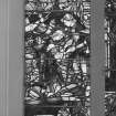
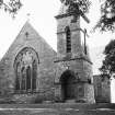
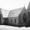
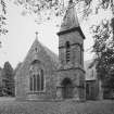
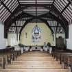
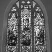
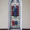
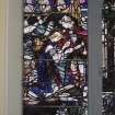
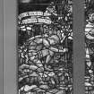
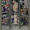
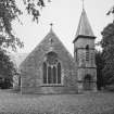
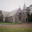
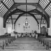
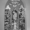
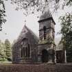
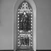
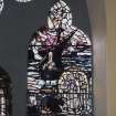
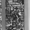
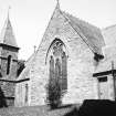
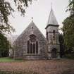
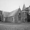
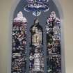
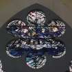
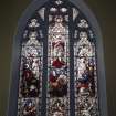
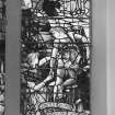
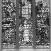
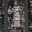
Sorbie Parish Church And Churchyard


Burial Ground (19th Century), Church (19th Century)
Site Name Sorbie Parish Church And Churchyard
Classification Burial Ground (19th Century), Church (19th Century)
Alternative Name(s) Millisle; Garlieston, Sorbie Church
Canmore ID 63168
Site Number NX44NE 34
NGR NX 46790 46362
Datum OSGB36 - NGR
Permalink http://canmore.org.uk/site/63168


- Council Dumfries And Galloway
- Parish Sorbie
- Former Region Dumfries And Galloway
- Former District Wigtown
- Former County Wigtownshire
NX44NE 34 46790 46362
Sorbie Parish Church [NAT]
OS (GIS) MasterMap, July 2009.
For former manse (NX 46707 46424), see NX44NE 52.
Note
Church and burial ground depicted on the 2nd edition of the OS 25-inch map (1908).
Information provided by HES (C DeDeo) 16 May 2024.

