Pricing Change
New pricing for orders of material from this site will come into place shortly. Charges for supply of digital images, digitisation on demand, prints and licensing will be altered.
Girvan, Shalloch Hill
Palisaded Settlement (Prehistoric), Pit(S) (Prehistoric)
Site Name Girvan, Shalloch Hill
Classification Palisaded Settlement (Prehistoric), Pit(S) (Prehistoric)
Canmore ID 62043
Site Number NX19NE 19
NGR NX 18437 95789
Datum OSGB36 - NGR
Permalink http://canmore.org.uk/site/62043
- Council South Ayrshire
- Parish Girvan
- Former Region Strathclyde
- Former District Kyle And Carrick
- Former County Ayrshire
NX19NE 19 18437 95789
(NX 1842 9578) Cropmarks of enclosure.
Shalloch Hill is a prominent knoll, but with easy approach on all sides and a broad, generally level, top at about 200ft OD, under a permanent rough pasture.
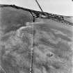
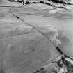
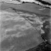
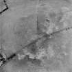
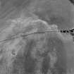
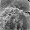
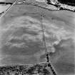
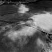
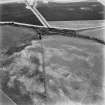
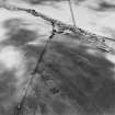
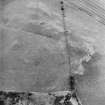
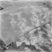
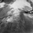
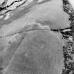
There are no surface indications of the enclosure cropmark, which appears from the air photograph to be sub-circular and over 30m in diameter and formed, possibly, by twin palisade trenches less than 1.0m wide.
Visited by OS (JRL) 14 April 1977
Recent aerial photography (RCAHMSAP 1995) has led to this site being re-interpretated as a palisaded settlement. The cropmarks of at least five pits are scattered within it. A series of linear cropmarks, probably field boundaries (NX19NE 48), and the cropmarks of a quarry (NX19NE 63) have been recorded immmediately to the S.
Information from RCAHMS (KB) 22 June 1999
Note (1983)
Shalloch Hill NX 184 957 NX19NE 19
What may be a palisaded enclosure is revealed by cropmarks on the rounded summit of Shalloch Hill. The enclosure, which has a maximum internal diameter of 60m is roughly circular, but the course of the palisade trench appears to incorporate a number of straight sections.
RCAHMS 1983
Aerial Photographic Transcription (3 October 2011)


