Pricing Change
New pricing for orders of material from this site will come into place shortly. Charges for supply of digital images, digitisation on demand, prints and licensing will be altered.
Whittingehame Tower
Garden (Period Unassigned), Tower House (Medieval)
Site Name Whittingehame Tower
Classification Garden (Period Unassigned), Tower House (Medieval)
Alternative Name(s) Whittingehame Castle Tower; Whittinghame Castle
Canmore ID 57814
Site Number NT67SW 2
NGR NT 60223 73246
Datum OSGB36 - NGR
Permalink http://canmore.org.uk/site/57814
- Council East Lothian
- Parish Whittingehame
- Former Region Lothian
- Former District East Lothian
- Former County East Lothian
NT67SW 2.00 6022 7324.
NT67SW 2.01 60184 73189 Tower Cottage
NT67SW 2.02 60133 73482 East Pavilion Lodge
NT67SW 2.03 60107 73455 West Pavilion Lodge
NT67SW 2.04 60120 73467 Gate piers
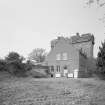
NT67SW 2.05 60200 73203 Out buildings
(NT 6022 7324) Whittingehame Castle (NR)
OS 6" map (1957)
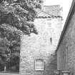
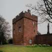
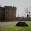
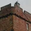
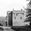
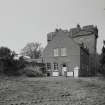
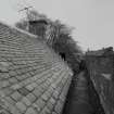
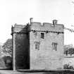
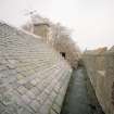
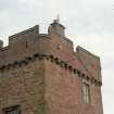
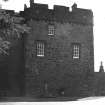
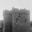
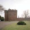
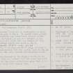
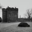
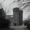
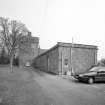
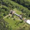
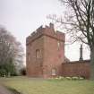
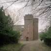
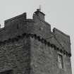
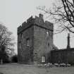
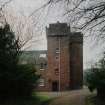
Whittingehame Castle Tower (C McWilliam 1978) is rectangular on plan, with a staircase jamb to the N. It stands three storeys high, with a corbelled and crenellated parapet within which stands a cap-house (in use as a dovecot in the 1930s). The RCAHMS notes that the remains of 17th century outbuildings adjoin the tower on the E.
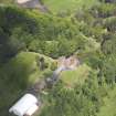
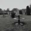
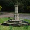
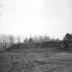
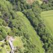
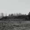
A mound of earth, 10ft high and 80ft long, possibly a gun platform contemporary with the castle, lies to the SE of the tower, on the slope towards Whittingehame Water.
RCAHMS 1924, visited 1913; N Tranter 1962; J Whitaker 1938
The property was acquired by the Douglas family in the 14th century. Lang asserts that the tower was built at this time, but the other authorities agree that it is of late 15th or early 16th century date.
M B Lang 1929
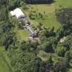
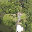
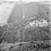
Whittingehame Tower (plaque on wall) is the only feature remaining of those shown on the RCAHMS plan. It has been restored and is in use as a residence, extensions having been added. The mound to the SE of the tower has been landscaped and is now a N-facing scarp, some 3.0m high, backed by a retaining wall.
Revised at 1:2500.
Visited by OS (EGC) 21 April 1966.
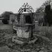
Possible 17th century garden.
N Hynd 1984.
NT 602 732 A watching brief was carried out in January 2006 at the site of a new barn to the SW of Whittingehame Tower during the excavation of foundations. The work was requested due to the proximity of the Tower (NT67SW 2.00) and Tower Cottage (NT67SW 2.01). No archaeological remains were found.
Archive to be deposited in NMRS; reports lodged with SMR and NMRS.
I Suddaby, 2006.
NMRS REFERENCE:
Owner: Earl of Balfour
Field Visit (21 August 1913)
213. Whittinghame Castle.
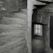
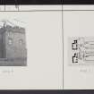
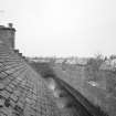
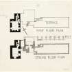
Whittinghame Castle, a late 15th or early 16th century tower (fig. 18 [SC 1128544]), stands about ¼ of a mile south-south-west of the modern mansion of Whittinghame on the opposite bank of the wooded ravine through which flows the Whittinghame Water. The building stands some 33 yards back from the edge of this ravine, which forms a natural defence and boundary on the east. On plan the structure is L-shaped (fig. 172); the main block contains the apartments and measures externally 30 ½ feet by 24 feet, while the wing 13 feet by 14 feet, projects, not from a lateral wall as is usual, but from the north gable and contains the entrance and the staircase, which is rectangular on the lower flights and circular above. There are three storeys beneath the wall head, which terminates in a corbel course surmounted by a walk with a crenellated parapet, which returns round the whole building. A garret over the main block is entered from the parapet walk.
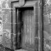
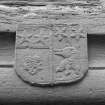
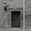
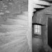
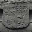
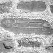
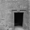
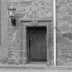
The entrance (fig. 44 [SC 1128542]) to the building is in the north wall of the staircase wing and not in there-entering angle. On the jambs and lintel of the doorway is wrought a bold quirked bead and-hollow moulding; on the lintel is a shield charged as under-parted per pale, dexter a cinque foil beneath two stars on a chief; sinister a boar's head erased beneath two stars in chief (for Douglas): the cinquefoil shows maternal descent from Borthwick. The Douglases of Whittinghame being descended from the Earl of Morton used their arms with a difference.
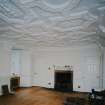
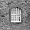
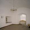
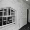
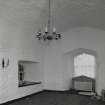
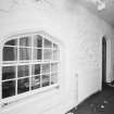
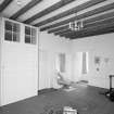
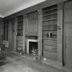
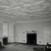
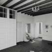
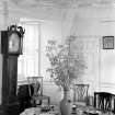
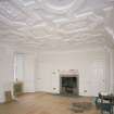
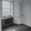
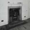
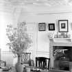
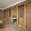
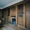
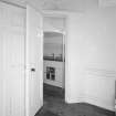
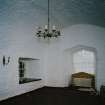
The basement chamber has been modernised but retains its stone vaulted ceiling, below which a mezzanine floor was entered off the staircase but has been removed. The windows have been enlarged, and direct access with the exterior provided in the east wall. The principal apartment of the tower is situated immediately over the vault and is entered from the staircase, which at this height has attained a circular form. The apartment measures 21 ½ feet by 15 feet; in the east and west walls are deeply recessed windows and in the south gable a fireplace. The northern end was screened off at the small window in the west wall, forming the servery usual in buildings of this type. Mural closets are formed in the thickness of the walls at the north-east angle and a cupboard in the north wall. The panelled ceiling (fig. 173 [SC 1128541]) is well preserved and is a good example of 17th century plaster work; the architraves of the doors are coeval and are carved with an egg-and-dart enrichment reminiscent, although the motif is different, of the woodwork at Pilmuir House (No. 20) in the parish of Bolton. Although this apartment has been enlarged by the inclusion of the servery and otherwise slightly modernised, it still retains much of it sold time appearance.
The floor above is occupied by estate employees.
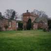
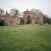
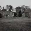
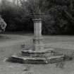
Adjoining the tower on the east are the remains of 17th century outbuildings with vaulted ceilings, and farther east a raised garden terrace is reached from stairs on the north and south. The tower is in excellent condition.
HISTORICAL NOTE.
Whittinghame was part of the great historical possessions of the Earls of March, till in 1372 George of Dunbar, 10th Earl of March, conferred the lands on Sir James Douglas of Dalkeith (1) who had married his sister Agnes and was the founder of the Collegiate Church of Dalkeith. His son became first Lord Dalkeith and his grandson, on marrying a daughter of James I, first Earl of Morton. The fourth Earl was the Regent Morton (1572-8) and it was at Whittinghame that the proposal for the assassination of Darnley was made to him by Bothwell and Lethington in January 1567. On his execution and forfeiture in 1581, title and lands lapsed to the Crown, but were later returned to the representative of the family. Whittinghame passed in 1660 to Alexander Seton first Lord Kingston (cf. p. 67), who had married Elizabeth, daughter of Sir Archibald Douglas of Whittinghame and heiress of her brother Archibald, and again by marriage with Kingston's only surviving daughter to the Hon. William Hay of Drummelzier, son of the first Earl of Tweeddale, remaining with the Hays till it was sold in 1817, along with Stoneypath to Mr. James Balfour.
RCAHMS 1924, visited 21 August 1913.
(1) Reg. Mag. Sig. i., No. 522; (2) Family of Seton, ii., pp. 717, 721; New Stat. Acct. ii., p.64.
OS Map ref: xi. N.W.
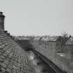
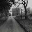
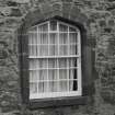
Photographic Survey (June 1963)
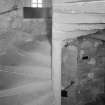
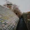
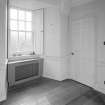
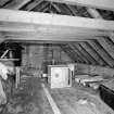
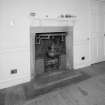
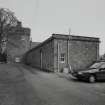
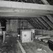
Photographic survey by the Scottish National Buildings Record/Ministry of Works in June 1963.


