
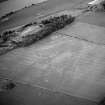
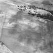
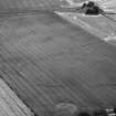
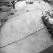
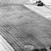
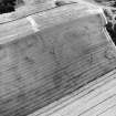
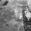
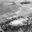
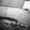
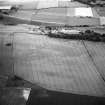
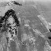
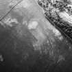
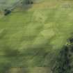
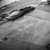
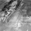
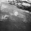
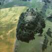
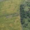
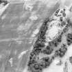
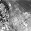
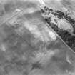
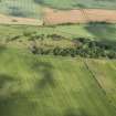
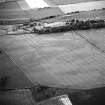
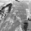
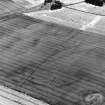
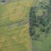
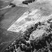
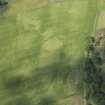
Kaeheughs, Barney Mains


Enclosure (Period Unassigned)
Site Name Kaeheughs, Barney Mains
Classification Enclosure (Period Unassigned)
Alternative Name(s) Garleton Hills
Canmore ID 56332
Site Number NT57NW 57
NGR NT 51867 76155
Datum OSGB36 - NGR
Permalink http://canmore.org.uk/site/56332


- Council East Lothian
- Parish Haddington
- Former Region Lothian
- Former District East Lothian
- Former County East Lothian

