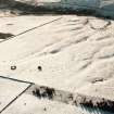
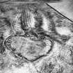
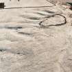
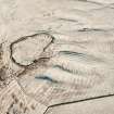
Harefaulds
Cultivation Remains (Period Unassigned)
Site Name Harefaulds
Classification Cultivation Remains (Period Unassigned)
Canmore ID 56005
Site Number NT55SE 13
NGR NT 5766 5012
NGR Description Centred NT 5766 5012
Datum OSGB36 - NGR
Permalink http://canmore.org.uk/site/56005
- Council Scottish Borders, The
- Parish Lauder
- Former Region Borders
- Former District Ettrick And Lauderdale
- Former County Berwickshire
NT55SE 13 centred 5766 5012.
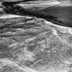
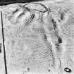
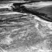
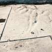
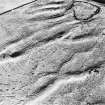
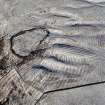
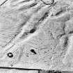
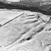
There is a small, grass-grown cairn some 160 yards E of the Haerfaulds (NT55SE 14), 900ft OD. It is 12 feet in diameter and 1 1/4 feet high. The remains of a hut circle, 12 feet in diameter, lie 50 yards SE. The moorland where they are situated is marked with rigs.
RCAHMS 1915, visited 1912
Some seven small cairns, about 18ft by 15ft, lie near the N side of Herrit's Dyke (Lin 531), about midway between Harefaulds and the point where the Dyke leaves the moor.
J H Craw 1923
A large area E of Haerfaulds, centered NT 5766 5012, has been under rig-and-furrow ploughing and there are many heaps of stones both old and recent in the area. Mr McDougal (farmer, Blythe), on whose land they lie, considers them all to be result of clearance. Some, however, have very much the appearance of small cairns and seem to have been avoided by the rig-and-furrow, though this cannot be stated with certainty. One of the cairn-like heaps is 150 yards E of Haerfaulds, in the position given by the RCAHMS, but it is no more definitely a cairn than the others. The hut circle could not be traced and the seven small cairns noted by Craw, probably other heaps in the complex, could not be specifically identified.
Visited by OS (CJP) 4 October 1956
Previous field report confirmed.
Visited by OS (RDL) 5 October 1962
Confirmed; approximately nine hectares of rig and furrow cultivation together with field clearance. Modern stone clearance dumps continue across the enclosed fields of Peat Law to the east.
Visited by OS (JRL) 28 May 1979.
Field Visit (5 February 1914)
230. Small Cairn and Hut circle, Blythe.
On the heather-covered moor which is scored with the narrow high rigs of a bygone cultivation, at an elevation of 900 feet above sea-level, some 160 yards east of the Haerfaulds (No. 218), is a small cairn of stones overgrown with grass, measuring 12 feet in diameter and rising 15 inches in height. About 50 yards to the south-east are the remains of a stone hut circle with an exterior diameter of 12 feet.
RCAHMS 1915, visited 5th February 1914.
OS Map: Ber., xx. NW. (unnoted).
Sbc Note
Visibility: This is an upstanding earthwork or monument.
Information from Scottish Borders Council


