Pricing Change
New pricing for orders of material from this site will come into place shortly. Charges for supply of digital images, digitisation on demand, prints and licensing will be altered.
East Field, Inveresk
Pit Alignment (Prehistoric)
Site Name East Field, Inveresk
Classification Pit Alignment (Prehistoric)
Alternative Name(s) Eastfield; Old Craighall
Canmore ID 53909
Site Number NT37SW 70
NGR NT 34175 70342
NGR Description From NT 34174 70166 to NT 34185 70543
Datum OSGB36 - NGR
Permalink http://canmore.org.uk/site/53909
- Council East Lothian
- Parish Inveresk (East Lothian)
- Former Region Lothian
- Former District East Lothian
- Former County Midlothian
NT37SW 70 From NT 34174 70166 to NT 34185 70543
See also NT37SW 23, NT37SW 69, NT37SW 71 -6, 178-9 and 187.
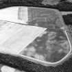
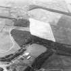
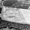
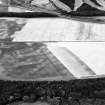
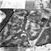
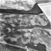
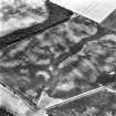
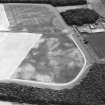
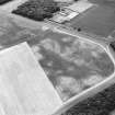
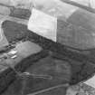
Aerial photography has revealed an irregular pair of parallel pit alignments running from S - N across four fields 600m E of Old Craighall. The lines extend for a distance of at least 600m, and are set about 8m apart. The N end of these alignments meets a line of pits running from the WSW to ENE and visible for a distance of about 40m. The parallel pit alignments pass through an area of cropmarks and cultivation remains, and adjacent to the cropmark of an enclosure (NT37SW 69).
Information from RCAHMS (KB) 1 March 1999
Aerial Photographic Transcription (1 April 2004 - 3 April 2004)
An aerial transcription was produced from oblique aerial photographs. Information from Historic Environment Scotland (BM) 31 March 2017.


