Following the launch of trove.scot in February 2025 we are now planning the retiral of some of our webservices. Canmore will be switched off on 24th June 2025. Information about the closure can be found on the HES website: Retiral of HES web services | Historic Environment Scotland
Edinburgh, Glenlockhart Road, Craiglockhart Castle
Tower House (Medieval)
Site Name Edinburgh, Glenlockhart Road, Craiglockhart Castle
Classification Tower House (Medieval)
Canmore ID 52581
Site Number NT27SW 11
NGR NT 22706 70274
Datum OSGB36 - NGR
Permalink http://canmore.org.uk/site/52581
- Council Edinburgh, City Of
- Parish Edinburgh (Edinburgh, City Of)
- Former Region Lothian
- Former District City Of Edinburgh
- Former County Midlothian
NT27SW 11 22706 70274
(NT 2270 7027) Craiglockhart Castle (NR) (remains of)
OS 1:10,000 map, (1973)
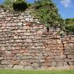
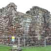
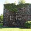
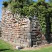
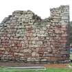
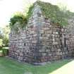
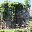
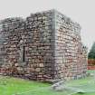
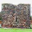
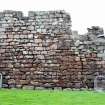
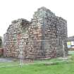
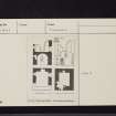
Craiglockhart Castle, a small 15th century tower, is now roofless and ruinous. It is oblong on plan, measuring 28 1/2' N-S by 24 1/2' over walls 5' thick at base. The walls of freestone, stand 30' high and indicate that there were four storeys.
D MacGibbon and T Ross 1887-92; RCAHMS 1929.
No change to previous information.
Visited by OS (B S) 8 December 1975.
Field Visit (10 September 1920)
Craiglockhart Castle.
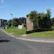
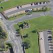
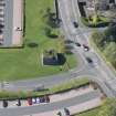
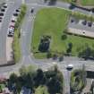
The broken ruin of this small 15th-century tower stands at an elevation of 435 feet, on the western shoulder of Wester Craiglockhart Hill, about ¼ mile south of Craiglockhart Ponds. The site has a wide outlook to north and west, but is not otherwise defensive.
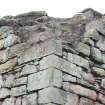
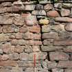
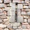
On plan the structure is oblong, measuring 28 ½ feet from north to south by 24 ½ feet from east to west over walls 5 feet thick at base. The walls stand to a present height of 30 feet, and indicate that there were four storeys; two of these were mezzanines formed within the barrel-vaults which ceiled the basement and the floor above the Hall. The walls are of freestone in 13-inch courses. The voids are chamfered at head and jambs. The entrance, which is in the north wall, has a semi-circular head and is rebated for outer and inner doors; it is at ground level and opens directly into the basement, a dark chamber which measures 18 by 14 feet and is lit only by a narrow light in the south wall that also lights the mezzanine floor. In the north-west angle a wheel-stair gave access to the mezzanine and upper floors. The stair is demolished, so that the first or Hall floor is inaccessible and its arrangement conjectural. To east and west and perhaps also to the north there have been fair-sized windows; in the west wall was the fireplace, beside which to the north can be seen, where the vault has fallen, a basin with outlet, recessed beneath a pointed equilateral head. The wall-head would be surmounted by a parapet-walk, but this has not survived.
No attempt has been made to conserve this tower, which is in exceedingly bad condition.
HISTORICAL NOTE. In 1505 the King granted to Thomas Kincaid, son of Thomas Kincaid, burgess of Edinburgh, on resignation by Patrick Kincaid of Craiglockhart, the lands of the same with tower and fortalice. In 1574 James Kincaid was in Craiglockhart. Reg. Mag. Sig., s.a., Nos. 2861, 2189.
RCAHMS 1929, visited 10 September 1920.
Photographic Survey (28 June 2011 - 29 November 2011)
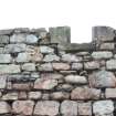
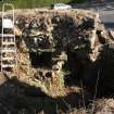
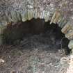
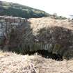
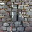
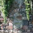
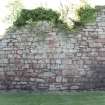
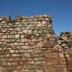
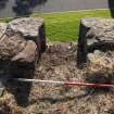
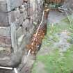
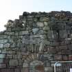
A programme of archaeological monitoring and building recording was undertaken both in advance, during and after basic consolidation works of Craiglockhart Castle, City of Edinburgh. This work involved producing a photographic record of the ruins during and after the removal of large vegetation, the securing of loose stones and consolidation of the walls, focusing on making safe the wall heads. Some work was carried out to clean out an existing trench around the base of the wall. The photographic record shows a number of features that had initially been masked by the vegetation. The work also allowed access to the wall head allowing limited access to the interior of the castle. A photographic record of the interior was undertaken during this visit.
Headland Archaeology 2011 (D. Wilson) OASIS ID: headland1-114857


