
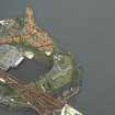
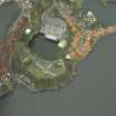
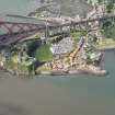
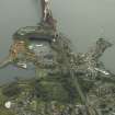
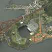
North Queensferry, Battery Road, Signal Station House


Naval Signal Station (19th Century)
Site Name North Queensferry, Battery Road, Signal Station House
Classification Naval Signal Station (19th Century)
Alternative Name(s) North Queensferry Signal Station; Nqss; Firth Of Forth; Inner Forth Estuary; Rosyth Dockyard
Canmore ID 50925
Site Number NT18SW 120
NGR NT 13427 80231
Datum OSGB36 - NGR
Permalink http://canmore.org.uk/site/50925


- Council Fife
- Parish Inverkeithing
- Former Region Fife
- Former District Dunfermline
- Former County Fife

