
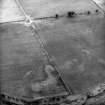
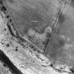
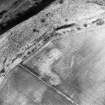
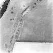
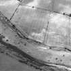
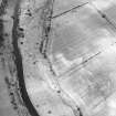
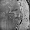
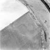
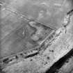
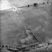
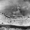
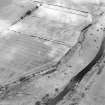
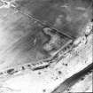
Drumelzier Haugh


Standing Stone (Prehistoric)
Site Name Drumelzier Haugh
Classification Standing Stone (Prehistoric)
Canmore ID 49857
Site Number NT13NW 12
NGR NT 1392 3543
Datum OSGB36 - NGR
Permalink http://canmore.org.uk/site/49857


- Council Scottish Borders, The
- Parish Drumelzier
- Former Region Borders
- Former District Tweeddale
- Former County Peebles-shire
NT13NW 12 1392 3543.
(NT 1392 3543) Standing Stone (NR)
OS 6" map, (1968).
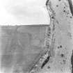
This standing stone, situated on a slight elevation is wedge-shaped at the top and measures 7'10" in girth at ground level and 5' in height.
RCAHMS 1967, visited 1958; Information from R W Feachem notebook No.9, 1958.
A standing stone as described
Visited by OS(EGC) 9 June 1964 and (BS) 18 November 1974.
Sbc Note (15 April 2016)
Visibility: Standing structure or monument.
Information from Scottish Borders Council

