Following the launch of trove.scot in February 2025 we are now planning the retiral of some of our webservices. Canmore will be switched off on 24th June 2025. Information about the closure can be found on the HES website: Retiral of HES web services | Historic Environment Scotland
Dunfermline, Pittencrieff Park, Malcolm Canmore's Tower
Tower (14th Century)(Possible)
Site Name Dunfermline, Pittencrieff Park, Malcolm Canmore's Tower
Classification Tower (14th Century)(Possible)
Alternative Name(s) Tower Hill
Canmore ID 49341
Site Number NT08NE 2
NGR NT 08771 87311
Datum OSGB36 - NGR
Permalink http://canmore.org.uk/site/49341
First 100 images shown. See the Collections panel (below) for a link to all digital images.
- Council Fife
- Parish Dunfermline
- Former Region Fife
- Former District Dunfermline
- Former County Fife
NT08NE 2 0876 8731.
(NT 0876 8731) Malcolm Canmore Tower (NR) (Ruin)
OS 25" map, (1926)
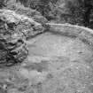
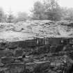
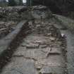
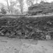
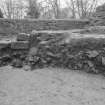
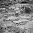
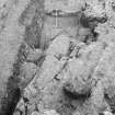
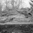
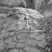
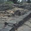
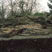
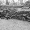
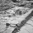
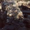
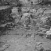
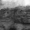
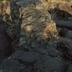
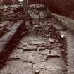
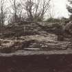
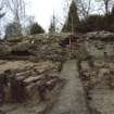
Malcolm Canmore's Tower: The remains on Tower Hill consist of the core of the W and S walls of a rectangular structure which has measured c. 33' x 12 1/2' within walls c. 10' in thickness. The facing stones have been removed and there is nothing to given any indication of date.
RCAHMS 1933.
Traces of some architectural structure, supposed to be the foundations of Malcolm Canmore's Tower, can still be seen on Tower Hill. Millar quotes a description by Fordun, writing towards the close of the 14th century, of Malcolm III's marriage in 1070 and suggests that the topographical description of the King's "fortified place" given by Fordun accords more with Tower Hill than any other place in the neighbourhood.
A H Millar 1895.
Malcolm Canmore's Tower: The facing courses have disappeared leaving the character of the building indeterminate but the masonry may be of 12th - 13th century date. From measurements taken at various periods it seems tolerably clear that the walls are the remnants of a strong tower which covered the entire area of the site (i.e. the top of Tower Hill).
A Reid and W Kirk 1908.
The remains of the tower are as described.
Visited by OS (DWR) 18 February 1974.
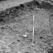
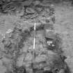
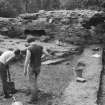
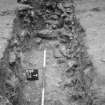
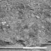
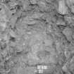
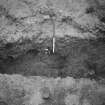
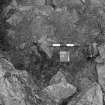
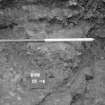
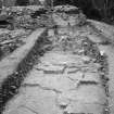
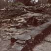
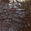
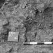
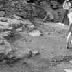
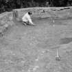
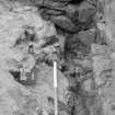
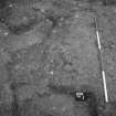
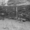
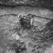
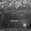
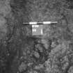
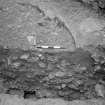
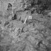
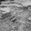
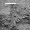
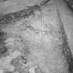
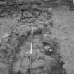
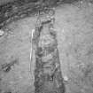
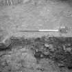
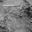
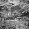
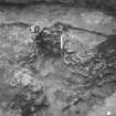
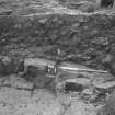
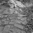
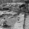
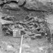
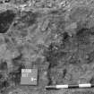
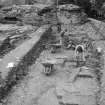
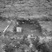
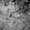
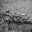
Excavations around the ruins showed they probably date from the 14th century. The site had been quarried, apparently before construction. The site was extensively disturbed in the 19th and 20th centuries.
Sponsor: Carnegie Dunfermline Trust, SUAT.
D Perry and D Bowler 1989a.
In the past 23 years much archaeological work has taken place in Dumferline, Fife. A wealth of information has been uncovered on the medieval burgh, revealing aspects of its development, society, trade and industry. In particular, the recently restored Abbot House has been found to contain a complex architectural and archaeological history.
D Perry 1999
Field Visit (21 August 1928)
Malcolm Canmore's Tower.
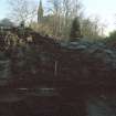
As the Tower Burn winds through Pittencrieff Glen, a public park lying immediately west of Dunfermline Abbey, it makes at one point a loop to the west, skirting on three sides the rocky eminence known as the Tower Hill. On this, at a height of some 70 feet above the stream, are the ruins of the building which has given both burn and hill a name. They consist of the core of the west and south walls of a rectangular structure, which has measured some 33 feet by 12 ½ feet within walls about 10 feet in thickness. The facing stones have been removed, and there is nothing to give any indication of date.
RCAHMS 1933, visited 21 August 1928.
Excavation (1989)
Excavations around the ruins showed they probably date from the 14th century. The site had been quarried, apparently before construction. The site was extensively disturbed in the 19th and 20th centuries.
Sponsor: Carnegie Dunfermline Trust, SUAT.
D Perry and D Bowler 1989a.


