Pricing Change
New pricing for orders of material from this site will come into place shortly. Charges for supply of digital images, digitisation on demand, prints and licensing will be altered.
Niddry Castle
Tower House (Medieval)
Site Name Niddry Castle
Classification Tower House (Medieval)
Canmore ID 49263
Site Number NT07SE 1
NGR NT 09525 74374
Datum OSGB36 - NGR
Permalink http://canmore.org.uk/site/49263
- Council West Lothian
- Parish Kirkliston (West Lothian)
- Former Region Lothian
- Former District West Lothian
- Former County West Lothian
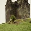
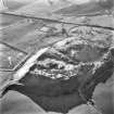
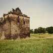
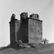
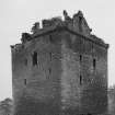
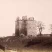
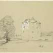
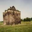
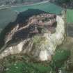
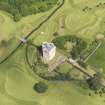
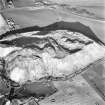
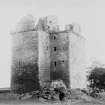
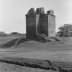
Niddry Castle, from 15th century
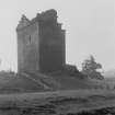
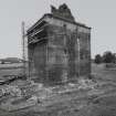
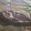
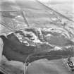
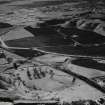
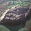
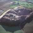
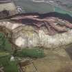
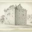
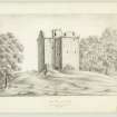
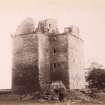
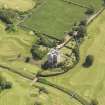
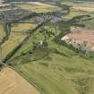
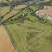
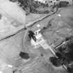
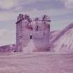
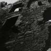
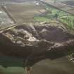
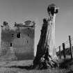
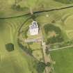
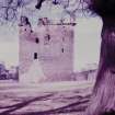
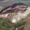
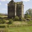
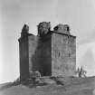
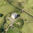
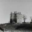
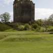
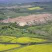
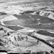
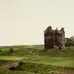
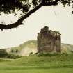
If ever there was a medieval high-rise, it was this. The grim shale-oil black stump etched against a shale bing (the customary view from the train) is entirely misleading, for Niddry has been a place of magnificence, seat of the princely Setons of East Lothian, grand enough to welcome a queen (Mary Queen of Scots stayed here after escaping from Loch Leven). The large L-plan tower-house on its rocky outcrop above the Niddry Burn had a cobbled inner court, round tower at each corner (foundations survive), possibly including a gallery. By the early 17th century, two more storeys had sprouted through the roof in polished ashlar. After centuries of ruin, birdlime and houlets, it has been re-roofed at the 15th-century level, and reoccupied under a scheme by William A Cadell. The scale of the turnpike stair and of the huge hall (with its chapel), kitchen and adjoining wing, takes you aback. From the hall floor (now a museum), there were two storeys below, and probably four above. Niddry was an enormous, vertically planned mansion of which all we can enjoy today is the plinth. The whole ensemble awaits reinstatement of the upper balustrade, harling and, if permitted, the enclosing walls at ground level (colour page). Large walled garden to the south-east once the principality of John Reid, the first gardening author in Scottish history, who wrote The Scots Gard'ner in 1683.
Taken from "West Lothian: An Illustrated Architectural Guide", by Stuart Eydmann, Richard Jaques and Charles McKean, 2008. Published by the Rutland Press http://www.rias.org.uk
NT07SE 1.00 09525 74374
NT07SE 1.01 09610 74286 Walled Garden
(NT 0951 7437) Niddry Castle (NR) (remains of)
OS 6" map (1970)
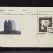
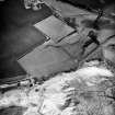
Niddry Castle, a tall, massive late 15th/early 16th century tower, standing on a rocky knoll, is now ruinous and roofless. It is L-shaped on plan and was formerly surrounded by a barmkin or curtain wall, traces of which are to be seen on the W. Additional defence was given by a bend in a stream, now diverted because of the nearby railway.
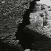
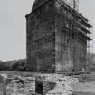
In the 17th century, an additional storey was added on top of the tower; as it now stands, it is 4 storeys high to the parapet, of which only the corbelling remains, all 15th/16th century work, and only fragments of the later additions remain above. The interior is now inaccessible.
The castle was known as Niddry-Seton, to distinguish it from Niddry Marischal near Edinburgh. Lord Seton brought Mary, Queen of Scots here in 1568, on the night of her escape from Loch Leven Castle. Later, the castle passed from the Setons to the Hopes of Hopetoun.
RCAHMS 1929, visited 1926; D MacGibbon and T Ross 1887; N Tranter 1962
The castle is as described, and in a fair state of preservation.
Revised at 25".
Visited by OS (JLD) 30 December 1952 and (DWR) 6 March 1974
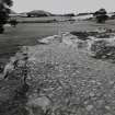
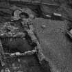
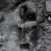
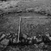
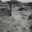
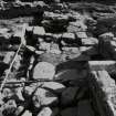
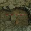
Work in 1989 concentrated on the W barmkin wall and interior. Over thirty post-holes of varying shape, size and alignment were found in this part of the site alone. Some of these underlay or lay outside the W barmkin wall. The remains of a rectangular stone building 14m by 6.8m aligned NS lay just W of the tower-house. This had another wall making the corner of a yard 7.5m wide EW, abutted to its SW corner. The NW part of the barmkin wall overlay that corner of the earlier buildings while while two drains and a garderobe-chute were in the west part of the wall. These served a building 5.5m wide within its walls which stood against the W barmkin wall. This only survived at the S end, due to the slope in the bedrock. At some time after the demolition of the barmkin wall a heavy flagged floor was laid over the S end for a timber building.
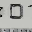
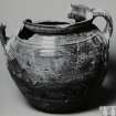
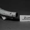
Among the finds this year were two more iron spurs, possible furniture or woodwork fittings and lead window-glass mountings. The pottery was mostly sherds of reduced green-glazed fabric with some post-medieval imported ware and possible earlier vessels of oxidised fabric.
Sponsors: COWL (Bathgate), CBT (Edinburgh).
C-A Kelly 1989.
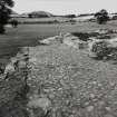
The final season of excavation was of trenches across the edges of the excavated area. A small patch of burnt stone was found against the outside of the N end of the barmkin wall, associated with pipe fragments of 17th century type. The cobbled yard, with the S barmkin wall, against which it is built, were found to overlie and cut into a pebble floor and flagged path. The latter was aligned approximately SE-NW.
On the E, a low slope opposite the E barmkin wall was found to be a dump of pale sandstone and turf, made into a level platform 10m wide. This was on the natural glacial till, into which was cut a post-hole, with a post-pipe 0.16m wide, and 8.6m E of the barmkin wall. The trench through the midden on the N slope allowed a section to be drawn of the deposits, from the tower-house to the filled-in course of the Niddry Burn. From the deposits abutting the burn came two sherds of the rim of a cooking-pot of reduced ware.
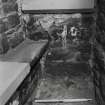
The plaster in the E window of the third floor of the tower-house was removed during the restoration work, revealing a small stone aumbry in the S side. Removal of the blocking revealed a stone shelf and a hemispherical hollow in its base. The broken stump of a stone table with a chambered edge was visible in the E wall, corresponding with scars of removal of its mortared stone base in the E side and the E part of the N and S sides. These seem to have been the remains of an altar and of a piscina, for what seems to have been an oratory or the castle chapel.
Sponsors: HBM, St Andrews Heritage Services, Community and Business Training, Edinburgh.
C-A Kelly 1990.
The excavation archive from Niddry Castle has been catalogued. The archive consists of manuscripts, photographic material and drawings.
Historic Scotland Archive Project (SW) 2001
NMRS REFERENCE:
Simpson & Brown Photograph Collection.
Box 3, album no 29.
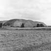
1983 interior & exterior of ruined castle.


