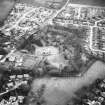
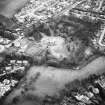
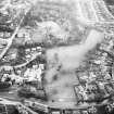
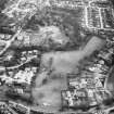
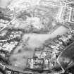
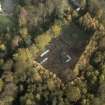
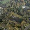
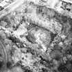
Linlithgow, Carmelite Friary
Friary (Medieval)
Site Name Linlithgow, Carmelite Friary
Classification Friary (Medieval)
Alternative Name(s) Nether Parkley
Canmore ID 49244
Site Number NT07NW 7
NGR NT 0034 7653
Datum OSGB36 - NGR
Permalink http://canmore.org.uk/site/49244
- Council West Lothian
- Parish Linlithgow
- Former Region Lothian
- Former District West Lothian
- Former County West Lothian
NT07NW 7.00 0034 7653
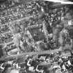
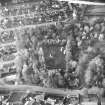
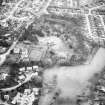
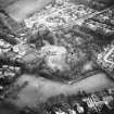
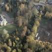
(NT 0030 7650) Site of Friary (NR) (Carmelite - Founded A D 1290) (NAT)
OS 6" map (1958).
NT07NW 7.01 NT 0034 7653 (LBA) bronze spearhead.
NT07NW 7.02 NT 0034 7653 Pit(s) Neolithic/Bronze Age
Spottiswoode attributes the foundation of this house to the citizens in 1290, while Brockie quotes a letter of 1280 narrating the foundation of a Carmelite house in 1280. This document is probably spurious. However, an indenture of 18 May 1401 testifies that Sir James Douglas of Dalkeith gave land at that time to the chapel of the Blessed Virgin Mary and the Carmelites, for the construction of conventual buildings and a garden. This house is said to have been pulled down by Reformers in 1559.
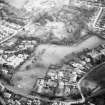
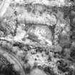
The proprietor of the field in which the priory stood had its foundations exposed in October 1905, revealing its plan as shown by Ferguson (1905). The E part of the building was probably the chapel. A bronze ring, "of much earlier date than the building" was also found.
D E Easson 1957; J Ferguson 1905; Antiquary 1905
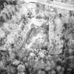
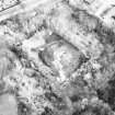
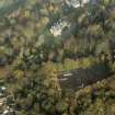
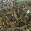
Excavations were carried out on this site in 1953; trenches were dug across the known walls, in order to fix the church and another building once before exposed, on the map. One additional wall, the second cross wall between choir and nave, was found. The building had been very thoroughly demolished; it stood above the foundations only at one point. Search was made for the W and S ranges of conventual buildings; traces of the S range were discovered. There were also two areas of rough cobbling, which from their position might represent a N and S cloister walk. It was not possible to excavate much within the church, but an area at the E end of the choir was cleared; this included most of a small tower at the external NE angle. Behind the altar, in a mass of mortar and slate, was a fragment of leading and many fragments of stained glass, mostly too friable to preserve. There was a grave at the N side of the altar. One other grave was found within the church, at the E end of the nave. Near it, no doubt thrown in with the grave filling, was an Early Bronze Age flint scraper.
D M Hunter 1953
NT 0034 7653. Miss D M Hunter indicated the site of the 1953 excavations on the plan.
Visited by OS (BS) 28 March 1974
The earliest occupation was of pre-medieval date and consisted of several gullies and a large number of post-pits, but no obvious plans of structures were identified. Sherds of coarse and of burnished hand-made pottery were recovered from associated levels. Early medieval use of the site was demonstrated by the presence of a number of truncated ditches which have been interpreted as being property boundaries. A chapel, c 20.60m by 8.20m may have been in existence in the late 13th century and continued in use till the end of the 14th century. The eastern range seems to have been built by the mid 15th century. The single building occupied an area of c 17.40m by 7.00m and was divided into four rooms. In one of these, believed to be the chapter-house, painted mortar wall facings survived together with the impressions of flooring joists. At this time a building located to the W of the church is also likely to have been constructed. It measured c 7.50m by 5.00m and may have been the friar's or visitors' accommodation. The west range may also have been built during this period although little suggestive of its presence was discovered. The south range had been severely robbed but was seen to have been constructed against the SW corner of the east range. Only the east end of the c.6m wide building was excavated for c 16.20m. However, two rooms and part of another were identified. Over 200 graves relating to pre-friary, friary and the post-friary periods were excavated in various areas over the site. Much of the friary complex appears to have survived relatively intact until the late 1560s with parts of the south and east ranges continuing to be used up to that date. However, soon after this the ranges were systematically demolished and robbed of building materials until in 1624, the place of the Carmelite Friars' was ultimately sold. A large and varied assemblage of finds were recovered from the archaeological horizons, many of which are coin dated.
W J Lindsay 1984.
EXTERNAL REFERENCE:
Scottish Record Office
RHP 9196/1&2 1890 - plans, elevations and plans of drawings of alterations.
(Undated) information in NMRS.
Publication Account (1981)
An order of Carmelite Friars had established themselves in Linlithgow at least by 1401. The friary is said to have been pulled down on the orders of the Reformers in 1559 (Cowan, 1976, 137). It has been sited at NT 0030 7650 (Ordnance Survey Record Cards, Reference NT 07 NW 7).
Information from ‘Historic Linlithgow: The Archaeological Implications of Development’ (1981).
Excavation (1983 - 1984)
Excavations at the Carmelite friary, Nether Parkley, Linlithgow.
External Reference (2002)
Work was undertaken on the skeletal assemblage from the Linlithgow Friary by Barney Sloane of the University of Reading based on data from 'Three Scottish Carmelite Friaries: excavations at Aberdeen, Linlithgow and Perth 1980-1986' (J A Stones 1989).
Information from Barney Sloane, 2002.


