Pricing Change
New pricing for orders of material from this site will come into place shortly. Charges for supply of digital images, digitisation on demand, prints and licensing will be altered.
Castlethorn
Settlement (Period Unassigned)(Possible)
Site Name Castlethorn
Classification Settlement (Period Unassigned)(Possible)
Alternative Name(s) Canniewell Slack; Torphichen Hills; Torphichen Mains
Canmore ID 47960
Site Number NS97SE 53
NGR NS 9744 7244
Datum OSGB36 - NGR
Permalink http://canmore.org.uk/site/47960
- Council West Lothian
- Parish Torphichen
- Former Region Lothian
- Former District West Lothian
- Former County West Lothian
NS97SE 53 9745 7251
See also NS97SE 38.
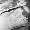
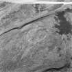
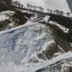
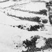
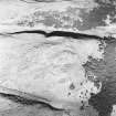
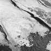
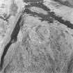
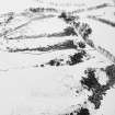
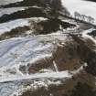
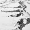
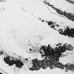
On the top of a knoll known as Castlethorn there are the remains of what may be a fort. The highest part of the knoll is surrounded by a low bank up to 2m thick and on the N a second bank takes in a lower terrace. The entrance lies in the W, and the trackway leading from it is marked by two upright slabs of stone, for which see NS97SE 38.
Visited by RCAHMS (JBS) 12 August 1985.
Scheduled (with NS97SE 38) as Castlethorn, fort and standing stones.
Information from Historic Scotland, scheduling document dated 22 February 2005.
Note (4 September 2014 - 23 May 2016)
What are probably the remains of a heavily-robbed fort enclose the top of Castlethorn, which forms the local summit of the SW spur of Gormyre Hill. Its rampart has been reduced to little more than a low stony bank, which encloses an oval area measuring about 60m from NNE to SSW by 45m transversely (0.21ha) and includes both the summit of the knoll and a lower terrace on the N. There are also the remains of a bank 2m thick enclosing the summit area, which measures no more than 34m from NE to SW by 26m transversely (0.07ha). The entrance to the fort, which is on the W, is marked by two upright slabs set some 8m apart and measuring 0.6m and 0.5m high respectively.
Information from An Atlas of Hillforts of Great Britain and Ireland – 23 May 2016. Atlas of Hillforts SC1841


