Pricing Change
New pricing for orders of material from this site will come into place shortly. Charges for supply of digital images, digitisation on demand, prints and licensing will be altered.
Upcoming Maintenance
Please be advised that this website will undergo scheduled maintenance on the following dates:
Thursday, 9 January: 11:00 AM - 3:00 PM
Thursday, 23 January: 11:00 AM - 3:00 PM
Thursday, 30 January: 11:00 AM - 3:00 PM
During these times, some functionality such as image purchasing may be temporarily unavailable. We apologise for any inconvenience this may cause.
Rough Castle
Field System (Period Unassigned)
Site Name Rough Castle
Classification Field System (Period Unassigned)
Canmore ID 46790
Site Number NS87NW 12
NGR NS 8457 7979
Datum OSGB36 - NGR
Permalink http://canmore.org.uk/site/46790
- Council Falkirk
- Parish Falkirk
- Former Region Central
- Former District Falkirk
- Former County Stirlingshire
NS87NW 12 846 798
See also NS87NW 6.
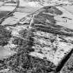
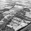
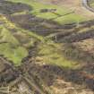
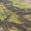
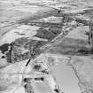
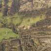
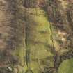
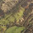
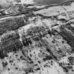
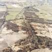
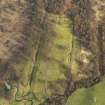
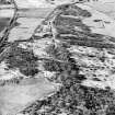
Following survey by the RCAHMS of a group of pre-improvement small rectangular fields lying immediately SE of the Roman fort, the banks and ditches which outline the fields were sectioned for dating and environmental evidence. A road, aligned on the E side of the fort and cognate with the field system was discovered.
J Barber 1982
(Schedule no. 8244). The Antonine Wall from Rough Castle to Lime Road, Tamfourhill, Falkirk isscheduled, together with the Rough Castle Roman fort and multi-period field-system.
Information from Historic Scotland, scheduling document dated 4 March 2005.
Measured Survey (1981)
RCAHMS surveyed the field system at Rough Castle by self-reducing alidade and plane-table in 1981 at scale of 1:1000. This survey was used as the basis of the plan of the field system published in 1995 (Mate 1995, 496 Illus 2).


