
Following the launch of trove.scot in February 2025 we are now planning the retiral of some of our webservices. Canmore will be switched off on 24th June 2025. Information about the closure can be found on the HES website: Retiral of HES web services | Historic Environment Scotland
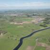
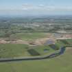
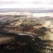
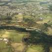
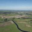
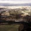
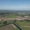
Lanark, General


Burgh (Medieval), Town (Period Unassigned)
Site Name Lanark, General
Classification Burgh (Medieval), Town (Period Unassigned)
Canmore ID 46642
Site Number NS84SE 75
NGR NS 87978 43729
NGR Description Centred on NS 87978 43729
Datum OSGB36 - NGR
Permalink http://canmore.org.uk/site/46642


- Council South Lanarkshire
- Parish Lanark
- Former Region Strathclyde
- Former District Clydesdale
- Former County Lanarkshire
NS84SE 75 87978 43729
A royal burgh, probably but not certainly created by David I (1124 -1153). It was a burgh by 1159, and it could also be attributed to Malcolm IV (1153-1159).
G S Pryde 1965.
NMRS REFERENCE
NMRS: County of Lanark surveyed by Wm Forrest 1816
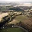
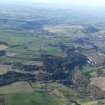
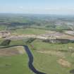
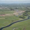
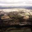
Aerial Photography (1935 - 1938)
An collection of aerial photographs taken by Andrew P Hunter from 1935 to 1938. Digitised by Andrew B Wilson in 2008.

