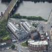
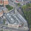
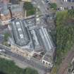
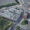
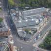
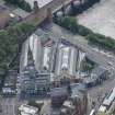
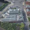
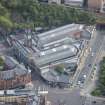
Glasgow, 127-165 Bridgegate, Fishmarket
Fish Market (19th Century), Shopping Centre (20th Century), Studio(S) (21st Century)
Site Name Glasgow, 127-165 Bridgegate, Fishmarket
Classification Fish Market (19th Century), Shopping Centre (20th Century), Studio(S) (21st Century)
Alternative Name(s) Briggait; 64-76 Clyde Street
Canmore ID 44340
Site Number NS56SE 75
NGR NS 59282 64640
Datum OSGB36 - NGR
Permalink http://canmore.org.uk/site/44340
- Council Glasgow, City Of
- Parish Glasgow (City Of Glasgow)
- Former Region Strathclyde
- Former District City Of Glasgow
- Former County Lanarkshire
NS56SE 75 59282 64640
During conversion work on the former fishmarket part of the floor adjacent to the surviving tower of the second Merchant's House (1659) was removed by the contractors. Below the basal level of 19th century tile cladding the bottom of a blocked doorway was observed, reached by two steps. Removal of the steps by the contractors showed the steps had abutted a chamfered plinth at the base of the tower. One mason's mark was recorded, as was the line of the wall of the Merchant's House on the north side of the tower.
J B Kerr and J H McBrien 1985.
NMRS REFERENCE:
Architect: Clarke & Bell c.1873
Constructed in 1903 as the third extension to the fish market (now the Briggait artist studios) by the Office of Public Works under AB Macdonald. Painted ashlar, single storey, triple arched former entrance (one with historic ironwork gates) to the third hall of the market complex. Pilasters dividing bays.
Watching Brief (12 February 2016 - 3 March 2016)
NS 59281 64646 AOC Archaeology Group was commissioned by Collective Architecture to undertake a watching brief on the SI works at The Briggait, Glasgow.
The watching brief consisted of a mixture of window sample bore holes, larger bore holes and hand dug test pits as well as two machine excavated pits.
The soil matrix mainly consisted of demolition made ground deposits ranging to a depth of c.2.2m. This was overlaying up to 10m of natural sandy clay deposits. Sandstone blocks were removed from a pit near the existing path, further work could be done here to determine if these were for retention or forming a previous building.
Information from Steven Watt AOC Archaeology Group


