Following the launch of trove.scot in February 2025 we are now planning the retiral of some of our webservices. Canmore will be switched off on 24th June 2025. Information about the closure can be found on the HES website: Retiral of HES web services | Historic Environment Scotland
Taringzean Castle
Tower House (Medieval)
Site Name Taringzean Castle
Classification Tower House (Medieval)
Alternative Name(s) Terringzean; Tarringzean Castle
Canmore ID 43588
Site Number NS52SE 2
NGR NS 55564 20506
NGR Description Centred on NS 55564 20506
Datum OSGB36 - NGR
Permalink http://canmore.org.uk/site/43588
- Council East Ayrshire
- Parish Old Cumnock
- Former Region Strathclyde
- Former District Cumnock And Doon Valley
- Former County Ayrshire
NS52SE 2 55564 20506.
(NS 55564 20506) Taringzean Castle (NR) (remains of)
OS 6" map (1967)
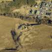
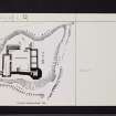
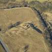
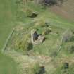
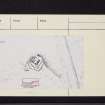
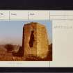
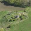
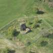
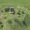
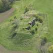
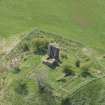
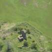
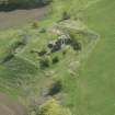
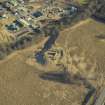
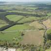
Terringzean Castle occupies the summit of a high, steep bank overlooking the Lugar Water; a dry moat defends the SW and SE approaches. The earlier part is now represented by the ruins of a small, irregular, vaulted tower, 20 or 30ft high (Macgibbon and Ross compare it with a similar feature at Mugdock Castle, dated to the 14th century by the RCAHMS - see NS57NW 9). The thick wall at the NW may be contemporary. Excavations by Lord Bute exposed the foundations of later walls, shown by hatching on plan.
An earlier name for the castle, 'Craufordstone' or 'Craufurdstoun', suggests that it originally belonged to the Crawfords. In 1647 it is referred to as 'Craufuirdstone, alias Terringzeane'.
D MacGibbon and T Ross 1892; J Warrick 1899
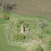
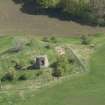
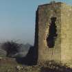
An octagonal tower of ashlar masonry forms the main feature of Taringzean Castle; it is situated in the S angle. Its S wall is about 6.0m high while the others are only some 2.5m high; they are 2.0m thick. On the N are the remains of outbuildings, 1.0m high. The building has been considerably restored. The ditch on S and W is deep and dry; it ends at the steep, natural slopes overlooking the Lugar. There is a well within the keep.
Visited by OS (JLD) 18 June 1954
Taringzean Castle: name verified. As previously described. The footings of the later buildings are largely exposed within the lines of old excavation trenches, presumably those of Lord Bute. There is no knowledge of these excavations at Dumfries House Estate Office (Dumfries House Mains), and any records that may pertain are likely to be held by the estate archivist at Rothesay (Miss C Armet, Montstuart, Rothesay).
Resurveyed at 1:2500.
Visited by OS (JRL) 23 October 1981


