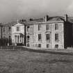
Darleith House
House (18th Century), Pele House (16th Century)
Site Name Darleith House
Classification House (18th Century), Pele House (16th Century)
Alternative Name(s) Seminary
Canmore ID 42497
Site Number NS38SW 10
NGR NS 34522 80649
Datum OSGB36 - NGR
Permalink http://canmore.org.uk/site/42497
- Council Argyll And Bute
- Parish Bonhill (Argyll And Bute)
- Former Region Strathclyde
- Former District Dumbarton
- Former County Dunbartonshire
NS38SW 10.00 34522 80649
NS38SW 10.01 NS 34372 80654 Stable, East Range
NS38SW 10.02 NS 34347 80660 Stable, Middle Range
NS38SW 10.03 NS 34318 80664 Stable, West Range
NS38SW 10.04 NS 34364 80652 Stable, Eastern Courtyard, SE Garage
NS38SW 10.05 NS 34355 80653 Stable, Eastern Courtyard, SW Garage
NS38SW 10.06 NS 34341 80620 Walled Garden
(NS 3452 8065) Darleith House (NAT)
OS 6" map (1938)
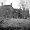
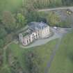
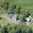
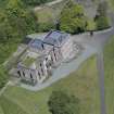
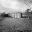
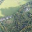
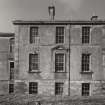
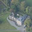
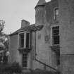
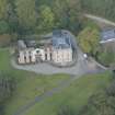
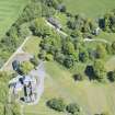
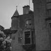
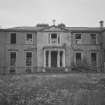
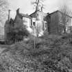
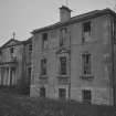
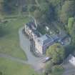
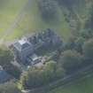
The central part of the present Darleith House is a typical 16th century peel tower. Extensions were added to the NW and NE in the 17th century, to the south at the end of the 18th century, and the house was remodelled and a wing added on the SE in 1903.
D McRoberts 1947
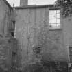
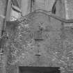
The only part of the tower visible from the outside is the west wall, where a corbelled turret forms the NW angle. Darleith House is as described by McRoberts, and is now an ecclesiastical college.
Visited by OS (RDL) 22 January 1962
NS 345 806
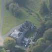
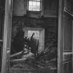
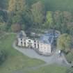
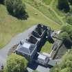
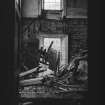
A standing building survey was undertaken between June and November 2004 prior to the demolition of the 16th- and 17th-century wings of the roofless ruin of Darleith House. The 18th- and 20th-century wings were to be retained for conversion to a private residence. An initial survey, concentrating on the 16th-century tower, was limited because of the dangerous state of the structure. A watching brief then took place intermittently during demolition works to record any features of interest. In the event, the owner retained the 16th-century tower as an attractive ruin.
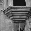
The survey revealed that the original 16th-century structure comprised a rectangular building with a vaulted basement and at least one bartizan tower. A significant later addition was an extension with a vaulted basement and pend at ground level, forming an L-shaped tower house with an entrance and stairway probably within the re-entrant angle.
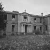
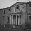
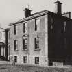
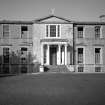
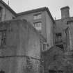
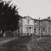
A third phase, probably dating to the 17th century, involved the addition of a wing to the N of the house. In the 18th century a wing was added to the S, with a fine Palladian entrance. Two extensions to the N, now the back of the house, flanked the earlier 17th-century addition.
In the early 20th century a final wingg was added onto the E side of the house. The house was used by St Peter's Ecclesiastical College until the 1960s, after which it fell into a ruinous condition.
Report lodged with WoSAS SMR and the NMRS.
Sponsor: Mr Alistair Cant
H James, G Tompsett 2004


