Islay, Achnancarranan
Standing Stone(S) (Prehistoric)
Site Name Islay, Achnancarranan
Classification Standing Stone(S) (Prehistoric)
Alternative Name(s) Lagavulin; Ballynaughton More
Canmore ID 37581
Site Number NR34NE 7
NGR NR 38954 46069
Datum OSGB36 - NGR
Permalink http://canmore.org.uk/site/37581
- Council Argyll And Bute
- Parish Kildalton And Oa
- Former Region Strathclyde
- Former District Argyll And Bute
- Former County Argyll
NR34NE 7 3895 4606
(NR 3896 4606) Standing Stones (NR)
OS 6" map, Argyllshire, 2nd ed. (1900)
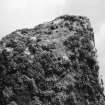
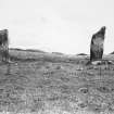
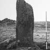
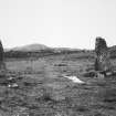
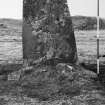
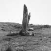
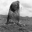
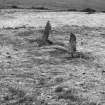
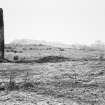
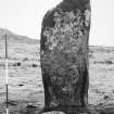
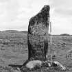
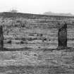
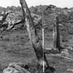
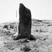
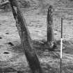
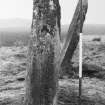
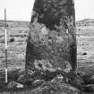
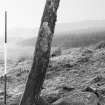
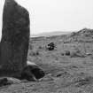
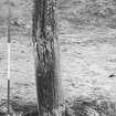
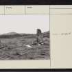
There are three standing stones at Achnancarraighean. One has fallen, but its base and a fragment almost buried in turf may be seen. The two still standing are the typically dressed, tapering stones of the district, but the tops of both have been broken off. The northerly one now stands 8ft by 4ft by 11ins, and the southerly one 9ft by 3ft by 9ins.
W Lamont 1959.
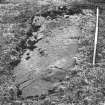
NR 3895 4607 Two standing stones, the northerly of which measures 1.2m by 0.3m by 2.7m high while the other, 6m away, is 0.9m by 0.3m by 2.9m high. Between these is a third stone lying partially buried in the turf and measuring 3m long by 0.9m.
Surveyed at 1:10000.
Visited by OS (BS), 20 June 1978.
Field Visit (June 1975)
NR 389 460. Situated on level ground about 1.4km ENE of Lagavulin and 600m SSW of the ruins of Ballynaughton More, there is an alignment of three standing stones running N and S. The N stone, measuring 1.28m by 0.35m at the base and 2.70m in height, rises with a gradual taper, the top curving gently to its highest point at the top of the S side. The centre stone, now prone, has fallen onto its E face and lies embedded in the ground with its upper surface (originally the W face) flush with the turf; it is 3m long and up to 0.9m broad. The s stone measures 0.80m by 0.40m at the foot and 2.85m in height. It leans towards the W, and the top slopes down sharply from the S to a shoulder 2.1m above ground level on the N side.
RCAHMS 1984, visited June 1975
Measured Survey (1975)
The standing stones at Achnancarranan were surveyed at 1:100 by RCAHMS. The plan was redrawn in ink and published at a reduced scale (RCAHMS 1984, fig.63A).


