
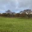
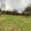
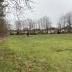
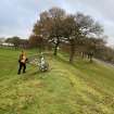
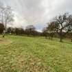
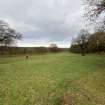
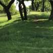
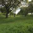
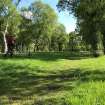
Seabegs Wood, Antonine Wall


No Class (Event) (Period Unassigned)
Site Name Seabegs Wood, Antonine Wall
Classification No Class (Event) (Period Unassigned)
Canmore ID 373500
Site Number NS87NW 100
NGR NS 81551 79392
Datum OSGB36 - NGR
Permalink http://canmore.org.uk/site/373500


- Council Falkirk
- Parish Falkirk
- Former Region Central
- Former District Falkirk
- Former County Stirlingshire
Watching Brief (26 March 2021)
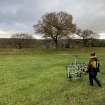
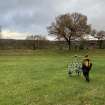
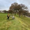
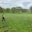
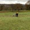
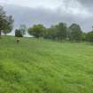
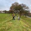
NS 81551 79392 A watching brief was conducted, on 26 March 2021, during the excavation of a trench for a new drainage channel across the modern track at Seabegs Wood, part of the Antonine Wall to the W of Falkirk. A single trench was excavated through hardcore and topsoil to a depth of 0.2m. No archaeologically significant deposits or features were uncovered.
Archive: NRHE (intended)
Funder: Historic Environment Scotland
Harry Francis – CFA Archaeology Ltd
(Source: DES Vol 22)
OASIS Id: cfaarcha1-419257

