Islay, Portnahaven
Village (Period Unassigned)
Site Name Islay, Portnahaven
Classification Village (Period Unassigned)
Canmore ID 37255
Site Number NR15SE 14
NGR NR 1682 5221
NGR Description Centred NR 1682 5221
Datum OSGB36 - NGR
Permalink http://canmore.org.uk/site/37255
- Council Argyll And Bute
- Parish Kilchoman
- Former Region Strathclyde
- Former District Argyll And Bute
- Former County Argyll
NR15SE 14 centred 1682 5221
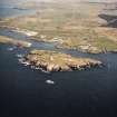
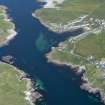
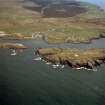
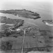
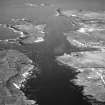
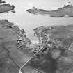
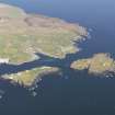
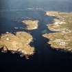
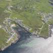
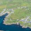
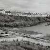
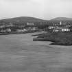
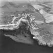
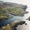
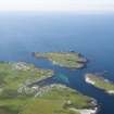
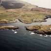
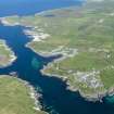
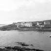
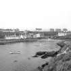
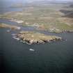
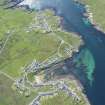
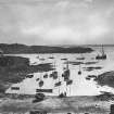
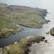
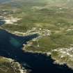
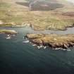
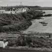
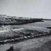
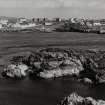
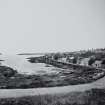
The buildings of this semi-planned village are grouped around a sea inlet near the SW point of the Rinns of Islay. The
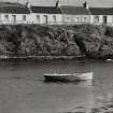
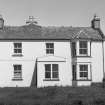
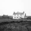
settlement is of an irregular U-shaped layout, following configuration of the steeply-sloping site. It comprises a number of single-storeyed and lofted cottages laid out terraced rows together with a Parliamentary church and some two-storeyed buildings situated mainly on higher ground to the N. The majority of the houses have been altered and modernised, but some of the cottages, especially on the S side of the creek, retain their original three-bay frontages and characteristically tall wall-heads.
The development of the thriving fishery at Portnahaven was encouraged by Walter Campbell after his purchase of
the Sunderland estate in 1788, but the existing village was created by his son. Captain Walter Campbell of Sunderland during the third decade of the 19th century. (Statistical Account 1790; MacDonald; Storrie 1981) According to one account, he 'formed his fishing-village on the basis of an old one' which was made up of 'miserable hovels, many of which were merely holes in the bank, fronted with such rude materials as the neighbourhood afforded'. The tenants were accordingly encouraged to build 'cottages on a new plan arranged in rows on either side of the creek, neatly slated and furnished with windows, fire-places, and sometimes grates'. (Teignmouth, Sketches)
RCAHMS 1984, visited August 1977.


