Burn Of Mannie
Field System (Period Unassigned), Ring Ditch(S) (Period Unassigned), Settlement (Period Unassigned)
Site Name Burn Of Mannie
Classification Field System (Period Unassigned), Ring Ditch(S) (Period Unassigned), Settlement (Period Unassigned)
Canmore ID 36149
Site Number NO68NW 3
NGR NO 6067 8983
Datum OSGB36 - NGR
Permalink http://canmore.org.uk/site/36149
- Council Aberdeenshire
- Parish Birse
- Former Region Grampian
- Former District Kincardine And Deeside
- Former County Aberdeenshire
NO68NW 3 606 897
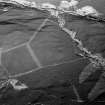
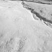
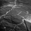
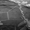
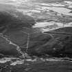
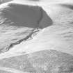
First detected from the air (Aberdeen Archaeological Surveys), and distributed along c400m on the N of the burn, at an altitude of c210 - 240m in moorland, the following features were noted (E to W): one platform, c12m across, one ring-ditch house, c12m in diameter, and edged by a concentric low mound of stones in which the occasional larger block is visible, a suite of near-parallel, slightly sinuous dry-stone banks, about 40m apart, with traces of cross-dykes and stone clearance heaps, a more irregular structure (attached to the W bank) and two further ring-ditch houses. One is c12m in diameter and exhibits little sign of a delimiting bank: the second is c14m in diameter, slightly scarped into the hill-side, and edged by a dry-stone bank, especially on its SE, downslope, side. Further W is a possible, but rather decayed, hut circle, c9m across.
I Ralston and W Watt 1983.


