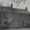
Farnell Castle
Tower House (Medieval)
Site Name Farnell Castle
Classification Tower House (Medieval)
Canmore ID 35736
Site Number NO65NW 24
NGR NO 62429 55488
Datum OSGB36 - NGR
Permalink http://canmore.org.uk/site/35736
- Council Angus
- Parish Farnell
- Former Region Tayside
- Former District Angus
- Former County Angus
NO65NW 24.00 62429 55488
NO65NW 24.01 c. 62429 55479 Sundial
For associated dovecot (NO 62524 55387), see NO65NW 65.
(NO 6243 5548) Farnell Castle (NR)
OS 6" map, (1970)
In existence in 1296 Farnell Castle was a residence of the Bishops of Brechin until it was secularised in 1566. Thereafter it passed through various hands until it came into the possession of the Carnegies, in 1623, with whom it remains.
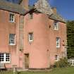
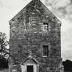
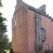
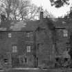
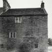
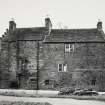
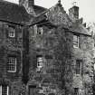
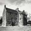
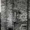
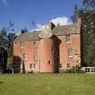
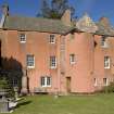
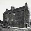
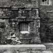
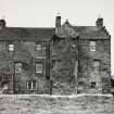
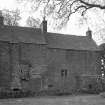
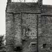
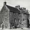
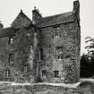
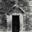
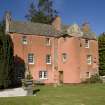
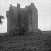
In 1570 the castle was very dilapidated and was probably rebuilt soon afterwards incorporating the remains. It is now a modern-looking 3 storey building with a circular stairtower, probably a result of a rebuilding, in front. Evidence of its episcopal origin exists in the sculptured shields on the north skewputts.
A J Warden 1880-5; D MacGibbon and T Ross 1887-92.
Farnell Castle is as described, a domestic structure in a fair state of preservation. It is occupied.
Visited by OS (J L D) 23 June 1958.
Photographic Survey (August 1960)
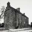
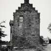
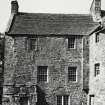
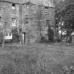
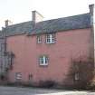
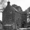
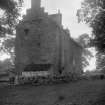
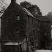
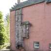
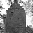
Photographic survey of the exterior of Farrell Castle, Angus, by the Ministry of Works in August 1960.
Photographic Survey (August 1964)
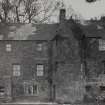
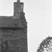
Photographic survey of the exterior of Farrell Castle, Angus, by the Ministry of Works in August 1964.
Photographic Survey (1 March 2011)
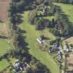
Photographed by RCAHMS as part of the Listed Buildings Area Survey.


