Following the launch of trove.scot in February 2025 we are now planning the retiral of some of our webservices. Canmore will be switched off on 24th June 2025. Information about the closure can be found on the HES website: Retiral of HES web services | Historic Environment Scotland
Gilrivie
Linear Feature(S) (Period Unknown), Pit(S) (Period Unknown), Pit Alignment (Prehistoric), Rig And Furrow (Medieval) - (Post Medieval), Ring Ditch (Prehistoric), Souterrain (Iron Age)(Possible)
Site Name Gilrivie
Classification Linear Feature(S) (Period Unknown), Pit(S) (Period Unknown), Pit Alignment (Prehistoric), Rig And Furrow (Medieval) - (Post Medieval), Ring Ditch (Prehistoric), Souterrain (Iron Age)(Possible)
Canmore ID 35701
Site Number NO65NE 47
NGR NO 6854 5945
NGR Description Centred NO 6854 5945
Datum OSGB36 - NGR
Permalink http://canmore.org.uk/site/35701
- Council Angus
- Parish Dun
- Former Region Tayside
- Former District Angus
- Former County Angus
NO65NE 47 6854 5945
Information to follow.
RCAHMS (KJ) 11 April 2000.
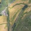
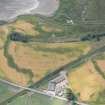
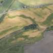
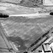
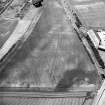
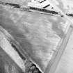
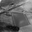
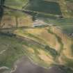
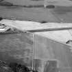
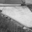
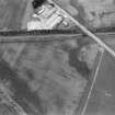
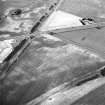
NO 685 594 More features were recorded in an area SW of Dun Roman camp, where formerly only rig and furrow was recorded. Parts of two rectangular enclosures with a trackway running between them were revealed. A ring-ditch and ?souterrain were also recorded.
Sponsors: Aberdeenshire Council, Angus Council.
M Greig 2003


