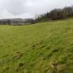
Bush Burn
Natural Feature (Period Unassigned)
Site Name Bush Burn
Classification Natural Feature (Period Unassigned)
Canmore ID 356851
Site Number NX18NW 105
NGR NX 1425 8586
Datum OSGB36 - NGR
Permalink http://canmore.org.uk/site/356851
- Council South Ayrshire
- Parish Colmonell
- Former Region Strathclyde
- Former District Kyle And Carrick
- Former County Ayrshire
Field Visit (8 February 2018)
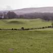
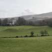
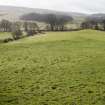
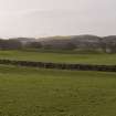
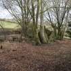
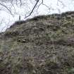
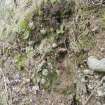
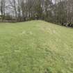
A pair of irregular and broad natural ridges are situated 200 W of Colmonell village, where they lie about 100m apart to the WNW and ESE respectively of the Bush Burn. Both ridges have been smoothed by ploughing and on the SSW, where they meet the course of the River Stinchur, erosion has exposed their natural composition of sands and gravels. The features therefore reflect the surface geology of the area and can be categorised as glaciofluvial deposits of Quaternary date forming beds, channels, plains and fans associated with meltwater (BGS, 1:50,000 digital geology).
A mid-19th century description of the County of Ayr wrongly interpreted these features as man-made and defensive, relating them to the nearby 16th century castle at Kirkhill (NX18NW 11; Paterson 1847, 303; cf. OS Name Book No. 13, 35). This idea was resurrected some 100 hundred years later when they were described, in a regional study of place names, as a ‘Pictish encampment or fort circle’ (McDowall 1947, 376).
Visited by HES Survey and Recording (GFG) 8 February 2018.


