Pricing Change
New pricing for orders of material from this site will come into place shortly. Charges for supply of digital images, digitisation on demand, prints and licensing will be altered.
Upcoming Maintenance
Please be advised that this website will undergo scheduled maintenance on the following dates:
Thursday, 9 January: 11:00 AM - 3:00 PM
Thursday, 23 January: 11:00 AM - 3:00 PM
Thursday, 30 January: 11:00 AM - 3:00 PM
During these times, some functionality such as image purchasing may be temporarily unavailable. We apologise for any inconvenience this may cause.
Ironshill
Cropmark(S) (Prehistoric)(Possible), Linear Feature(S) (Prehistoric)(Possible), Palisaded Enclosure (Prehistoric), Pit(S) (Prehistoric)(Possible), Rig And Furrow (Medieval) - (Post Medieval), Ring Ditch (Prehistoric)
Site Name Ironshill
Classification Cropmark(S) (Prehistoric)(Possible), Linear Feature(S) (Prehistoric)(Possible), Palisaded Enclosure (Prehistoric), Pit(S) (Prehistoric)(Possible), Rig And Furrow (Medieval) - (Post Medieval), Ring Ditch (Prehistoric)
Canmore ID 35391
Site Number NO64NE 15
NGR NO 67505 49530
Datum OSGB36 - NGR
Permalink http://canmore.org.uk/site/35391
- Council Angus
- Parish Inverkeilor
- Former Region Tayside
- Former District Angus
- Former County Angus
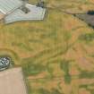
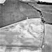
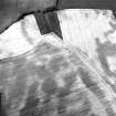
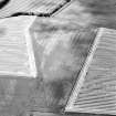
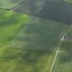
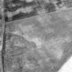
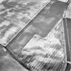
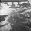
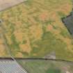
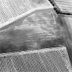
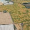
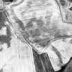
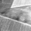
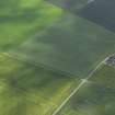
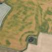
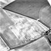
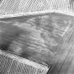
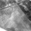
Oblique aerial photographs (RCAHMSAP 1995) show additional cropmarks in this field. A linear cropmark, aligned SE-NW but turning to the SW, cuts the enclosure. What may be a pair of linear cropmarks, stretching SW-NE, are situated to the SE of the enclosure. There are also a number of cropmarks and pits in this area, the most distinctive being two marks to the SE of the enclosure.
Information from RCAHMS (KJ) 28 April 1999.
Field Visit (March 1978)
Ironshill 2 NO 675 495 NO64NE
The crop-mark of an oval enclosure with a maximum diameter of 55m occupies a slight rise S of Ironshill Farm Cottages.
RCAHMS 1978, visited March 1978


