Harris, Cairminis
Enclosure (Period Unassigned)(Possible)
Site Name Harris, Cairminis
Classification Enclosure (Period Unassigned)(Possible)
Canmore ID 314337
Site Number NG08NW 20
NGR NG 0206 8508
Datum OSGB36 - NGR
Permalink http://canmore.org.uk/site/314337
- Council Western Isles
- Parish Harris
- Former Region Western Isles Islands Area
- Former District Western Isles
- Former County Inverness-shire
Aerial Photographic Interpretation (16 December 2011)
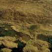
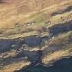
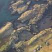
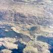
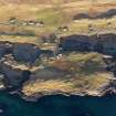
What may be a roughly circular enclosure has been recorded on aerial photographs (RCAHMSAP 2005) lying just below high water in a sheltered embayment immediately offshore at Cairminis. It measures 18-20m across within a ditch 5-6m across, and it has been suggested that may be a henge (Colls and Hunter 2010, 34).
Information from RCAHMS (DCC) 16 December 2011


