
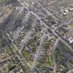
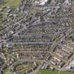
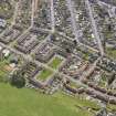
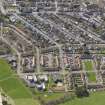
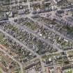
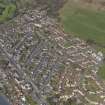
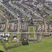
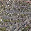
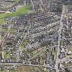
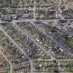
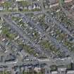
Tillicoultry, Hamilton Street, General


General View (Period Unassigned)
Site Name Tillicoultry, Hamilton Street, General
Classification General View (Period Unassigned)
Canmore ID 310489
Site Number NS99NW 111
NGR NS 91845 97112
Datum OSGB36 - NGR
Permalink http://canmore.org.uk/site/310489


- Council Clackmannan
- Parish Tillicoultry (Clackmannanshire)
- Former Region Central
- Former District Clackmannan
- Former County Clackmannanshire

