Pricing Change
New pricing for orders of material from this site will come into place shortly. Charges for supply of digital images, digitisation on demand, prints and licensing will be altered.
Upcoming Maintenance
Please be advised that this website will undergo scheduled maintenance on the following dates:
Thursday, 9 January: 11:00 AM - 3:00 PM
Thursday, 23 January: 11:00 AM - 3:00 PM
Thursday, 30 January: 11:00 AM - 3:00 PM
During these times, some functionality such as image purchasing may be temporarily unavailable. We apologise for any inconvenience this may cause.
Ballinbreich Castle
Enclosure(S) (Period Unassigned), Field Boundary(S) (Period Unassigned), Harness Fitting (Period Unassigned), Mount (Period Unassigned), Unidentified Flint(S) (Flint)(Period Unassigned), Unidentified Pottery (Period Unassigned)
Site Name Ballinbreich Castle
Classification Enclosure(S) (Period Unassigned), Field Boundary(S) (Period Unassigned), Harness Fitting (Period Unassigned), Mount (Period Unassigned), Unidentified Flint(S) (Flint)(Period Unassigned), Unidentified Pottery (Period Unassigned)
Canmore ID 30466
Site Number NO22SE 12
NGR NO 27240 20360
Datum OSGB36 - NGR
Permalink http://canmore.org.uk/site/30466
- Council Fife
- Parish Flisk
- Former Region Fife
- Former District North East Fife
- Former County Fife
NO22SE 12 27240 20360
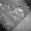
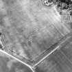
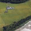
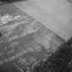
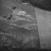
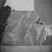
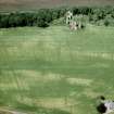
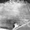
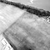
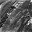
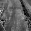
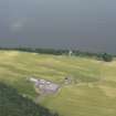
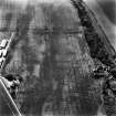
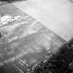
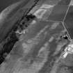
Parts of the cropmarked field immediately S of Ballinbreich Castle (NO22SE 8) were fieldwalked as part of a Council of Scottish Archaeology (CSA) training seminar. The cropmarks, some of which represent medieval enclosures and out buildings of the castle, were located on the ground and gridded with the aid of a plot prepared by RCAHMS. Finds included prehistoric flints, and medieval and post- medieval pottery.
Sponsors: Fife Regional Council, HS
P Yeoman 1991.
NO 273 204 Copper-alloy ?harness ring. Metal detector find by Mr D Drummond. (CUPMS: 1998.295).
NO 272 204 Two gilt heraldic mounts. Metal detector find by Mr T Chalmers. (CUPMS: 1998.161?2).
Sponsor: Fife Council Museums (East).
M D King 1998
Aerial Photographic Transcription (12 February 1991 - 13 February 1991)
An aerial transcription was produced from oblique aerial photographs. Information from Historic Environment Scotland (BM) 31 March 2017.


