Pricing Change
New pricing for orders of material from this site will come into place shortly. Charges for supply of digital images, digitisation on demand, prints and licensing will be altered.
Upcoming Maintenance
Please be advised that this website will undergo scheduled maintenance on the following dates:
Thursday, 9 January: 11:00 AM - 3:00 PM
Thursday, 23 January: 11:00 AM - 3:00 PM
Thursday, 30 January: 11:00 AM - 3:00 PM
During these times, some functionality such as image purchasing may be temporarily unavailable. We apologise for any inconvenience this may cause.
Forth Defences, Outer, Inchkeith, Barracks, Men's Quarters, Domestic Site
Military Camp (Second World War), Military Camp (First World War)
Site Name Forth Defences, Outer, Inchkeith, Barracks, Men's Quarters, Domestic Site
Classification Military Camp (Second World War), Military Camp (First World War)
Alternative Name(s) Forth Defences; The Village
Canmore ID 295068
Site Number NT28SE 5.13
NGR NT 29413 82512
NGR Description Centred NT 29413 82513
Datum OSGB36 - NGR
Permalink http://canmore.org.uk/site/295068
- Council Fife
- Parish Kinghorn
- Former Region Fife
- Former District Kirkcaldy
- Former County Fife
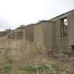
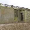
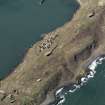
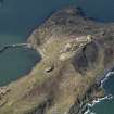
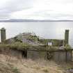
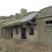
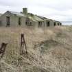
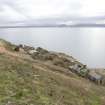
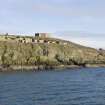
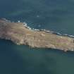
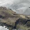
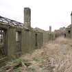
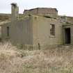
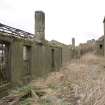
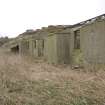
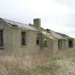
A street of two lines of ten buildings is situated on the west side of the island, immediately below the “B” Group gun emplacement (NT28SE 5.06). The complex of buildings is shown, with the function of some buildings noted, on the 2nd edition map of the island: eight of the buildings have the same simple rectangular plan with a porch to the west; one of these is labelled ‘Canteen’. The two buildings with different plans are labelled ‘Cook House’ and ‘Canteen Store’. The whole complex is labelled ‘Men’s Quarters’. There are also various ‘tanks’ and a coal store’. Only three buildings retain their roofs, the cook house, canteen and a hospital (with flat roof). All buildings except the hospital have pitched roofs with the metal framing surviving on several
The buildings were re-used in the Second World War, when the amount of accommodation on the island, mainly in Nissen huts, was far greater than in the First War.
Information from HS/RCAHMS World War One Audit Project (GJB) 4 November 2013.
NT28SE 5.13 centred 29413 82512
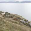
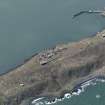
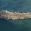
A 'street' of nine buildings has been identified from aerial photographs (RCAHMS 2008), situated on the SW side of Inchkeith. Most are now unroofed and derelict.
The buildings provided accommodation for miltary personnel during their occupation of the Inch.
Information from RCAHMS (DE), June 2008
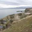
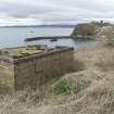
A double line of harled stone built houses is situated on the W side of the Island immediately below B Group gun emplacement (NT28SE 5.06). Only three buildings retain their roofs, the cook house, dining room and the flat roofed hospital. All buildings except the hospital have pitched roofs with the metal framing surviving on several. Most of the houses have porch/outshots on the W elevation except the cook house/dining room which has a verandah and porch.
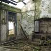
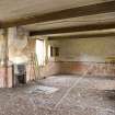
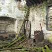
Internally most of the houses are of the same plan, the cook house retaining elements of the cooking range and boiler.
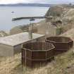
Immediately above the houses are two octagonal metal water tanks. The remains of two further hut bases were noted immediately N of the 'street', both of which are annotated on the WO plan as 'Living'.
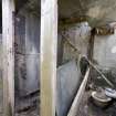
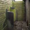
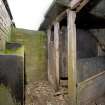
At NT 29381 82541, W and downslope of the street of houses is a partially flat roofed toilet block with five cubicles, several retaining the toilets and two urinals. Unusually the dividing walls of the cubicles are two large sheets of slate. About 17m N of the toilet block is an unroofed stone built building, identified as the 'Coal Store'.
The houses are annotated on the Ordnance Survey pre-Frist World War plan as 'Men's Quarters' whilst on the WO plan (RCAHMS MS 879/83) it is annotated as 'Barracks'
Visited by RCAHMS (DE, AL), 4th and 5th March 2009
Project (March 2013 - September 2013)
A project to characterise the quantity and quality of the Scottish resource of known surviving remains of the First World War. Carried out in partnership between Historic Scotland and RCAHMS.


