
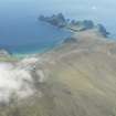
St Kilda, Hirta, Mullach Mor, Radar Station


Radar Station (20th Century)
Site Name St Kilda, Hirta, Mullach Mor, Radar Station
Classification Radar Station (20th Century)
Canmore ID 292457
Site Number NA00SE 10
NGR NA 09271 00112
Datum OSGB36 - NGR
Permalink http://canmore.org.uk/site/292457


- Council Western Isles
- Parish Harris
- Former Region Western Isles Islands Area
- Former District Western Isles
- Former County Inverness-shire
NA00SE 10 09271 00112
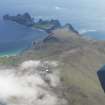
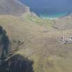
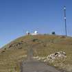
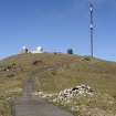
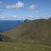
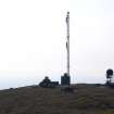
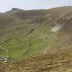
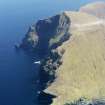
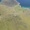
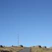
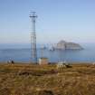
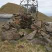
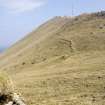
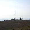
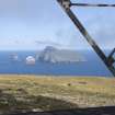
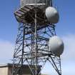
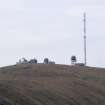
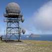
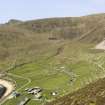
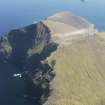
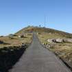
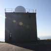
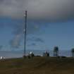
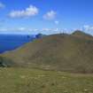
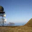
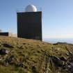
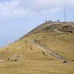
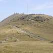
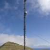
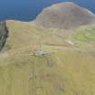
Situated on top of Mullach Mor. Decca Radar Station used to track and photograph missiles and rockets fired from the South Uist Ranges (NF74SE 31).
Two small aerials on top of concrete buildings.
Information from RCAHMS (DE), January 2008

