Pricing Change
New pricing for orders of material from this site will come into place shortly. Charges for supply of digital images, digitisation on demand, prints and licensing will be altered.
Upcoming Maintenance
Please be advised that this website will undergo scheduled maintenance on the following dates:
Thursday, 9 January: 11:00 AM - 3:00 PM
Thursday, 23 January: 11:00 AM - 3:00 PM
Thursday, 30 January: 11:00 AM - 3:00 PM
During these times, some functionality such as image purchasing may be temporarily unavailable. We apologise for any inconvenience this may cause.
Murrays
Farmstead (Period Unassigned)
Site Name Murrays
Classification Farmstead (Period Unassigned)
Canmore ID 291835
Site Number NS37NW 52
NGR NS 33785 77212
Datum OSGB36 - NGR
Permalink http://canmore.org.uk/site/291835
- Council Argyll And Bute
- Parish Cardross (Argyll And Bute)
- Former Region Strathclyde
- Former District Dumbarton
- Former County Dunbartonshire
NS37NW 52 33785 77212
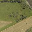
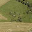
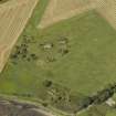
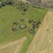
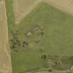
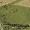
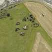
The remains of a farmstead are visible on oblique aerial photographs taken in September 2007 (RCAHMS 2007), situated on the N coast of the Firth of Clyde to the SW of Cardross village, immediately SE of the abandoned heavy anti-aircraft battery (NS37NW 19).
The remains consist of two ranges of stone walled buildings, both with the gable ends surviving at their W and E ends respectively. The footings of other walls are visible on the photographs.
The farmstead is depicted as roofed on the 1st edition of the OS 6-inch map (Dumbartonshire 1864, sheet xxi and 1st edition of the 25-inch (Dumbartonshire, 1895, sheet xxi) as a group of four or five buildings set around a courtyard. By the date of the Revision edition of 1918 this had increased to nine or ten buildings all roofed, some situated outside the courtyard. The date of abandonment is not known, though the remains are depicted on the current OS 1:2500 scale digital maps.
The Object Name Book of the Ordnance Survey (ONB), describes the farmstead as 'A farm house and offices attached. The property of Thos. Geils Esq.' (ONB 1863). An RAF WW II oblique air photograph (F309, 3655, flown 6 June 1941), shows that the farmstead was still roofed at this date.
Information from RCAHMS (DE), December 2007


