
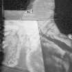
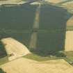
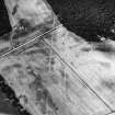
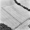
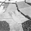
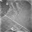
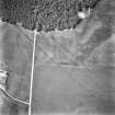
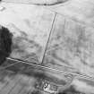
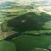
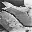
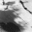
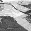
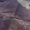
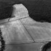
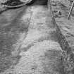
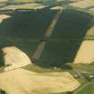
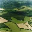
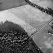
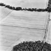
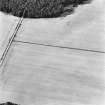
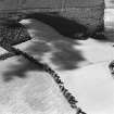
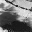
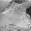
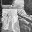
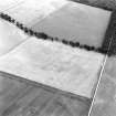
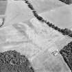
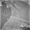
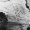
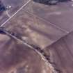
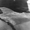
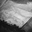
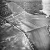
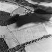
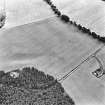
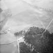
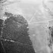
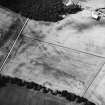
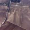
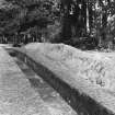
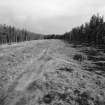
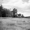
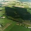
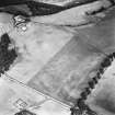
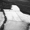
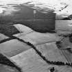
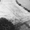
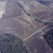
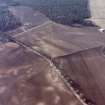
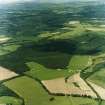
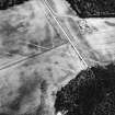
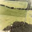
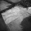
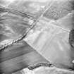
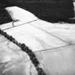
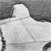
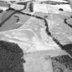
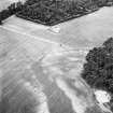
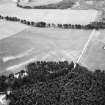
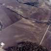
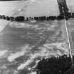
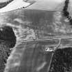
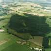
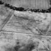
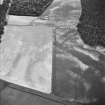
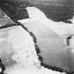
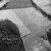
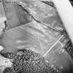
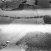
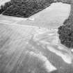
Cleaven Dyke


Cursus (Neolithic)
Site Name Cleaven Dyke
Classification Cursus (Neolithic)
Alternative Name(s) Meikleour; Blairgowrie Road
Canmore ID 28473
Site Number NO13NE 89
NGR NO 17350 39900
NGR Description From NO 1721 3998 to NO 1755 3979
Datum OSGB36 - NGR
Permalink http://canmore.org.uk/site/28473


First 100 images shown. See the Collections panel (below) for a link to all digital images.
- Council Perth And Kinross
- Parish Caputh
- Former Region Tayside
- Former District Perth And Kinross
- Former County Perthshire
Cancelled. Crossing two OS 1:10,000 quartersheets, the Cleaven Dyke was originally recorded as a linear feature with separate records for each mapsheet.
NO14SE 80 (Canmore Id: 73146) has been retained as the record for the Cursus.
NO13NE 89 (Canmore Id: 28473), covering the SE end of the Cursus has been cancelled.
Information from HES (Peter McKeague) 14 April 2021
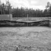
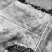
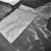
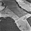
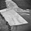
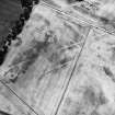
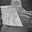
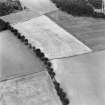
Measured Survey (26 August 1991 - 27 August 1991)
RCAHMS surveyed the Cleaven Dyke cursus (NO13NE 89) with plane-table and self-reducing adlidade between 26-27 August 1991 at a scale of 1:500. The resultant plans and sections were redrawn in ink and published at a scale of 1:1000 (RCAHMS 1994b, 27).

