
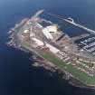
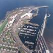
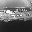
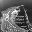
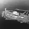
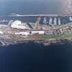
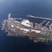
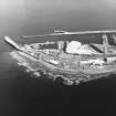
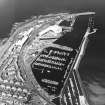
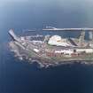
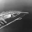
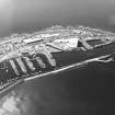
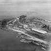
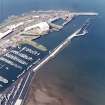
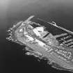
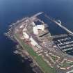
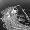
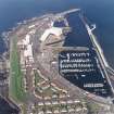
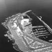
Troon Harbour, Wet Dock


Dock (Period Unassigned)
Site Name Troon Harbour, Wet Dock
Classification Dock (Period Unassigned)
Alternative Name(s) Fish Dock
Canmore ID 281402
Site Number NS33SW 23.11
NGR NS 30854 31564
Datum OSGB36 - NGR
Permalink http://canmore.org.uk/site/281402


- Council South Ayrshire
- Parish Dundonald (Kyle And Carrick)
- Former Region Strathclyde
- Former District Kyle And Carrick
- Former County Ayrshire

