
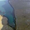
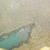
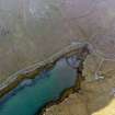
Vatersay, Beinn Orasaigh


General View (Period Unassigned)
Site Name Vatersay, Beinn Orasaigh
Classification General View (Period Unassigned)
Alternative Name(s) Ben Orosay; Bhatarsaigh
Canmore ID 278738
Site Number NL69NW 140
NGR NL 63327 97101
Datum OSGB36 - NGR
Permalink http://canmore.org.uk/site/278738


- Council Western Isles
- Parish Barra
- Former Region Western Isles Islands Area
- Former District Western Isles
- Former County Inverness-shire

