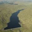
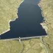
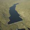
Lochan Shira
Reservoir (20th Century)
Site Name Lochan Shira
Classification Reservoir (20th Century)
Alternative Name(s) Lochan Shira Reservoir; River Shira; Glenshira Reservoir; Sloy/shira Scheme
Canmore ID 277916
Site Number NN12SE 9
NGR NN 17822 20922
Datum OSGB36 - NGR
Permalink http://canmore.org.uk/site/277916
- Council Argyll And Bute
- Parish Glenorchy And Inishail (Argyll And Bute)
- Former Region Strathclyde
- Former District Argyll And Bute
- Former County Argyll
NN12SE 9.00 17822 20922
Extends onto map sheet NN11NE.
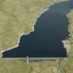
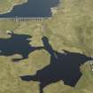
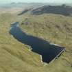
Lochan Shira (Reservoir)
Top water level 338 metres above Newlyn datum [NAT]
OS 1:10,000 map, 1990.
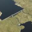
NN12SE 9.01 NN 16395 20195 Dam
NN12SE 9.02 NN 16154 20052 Power Station
NN12SE 9.03 NN 16123 20074 Transformer Station
For submerged field monuments, see NN12SE 6.
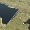
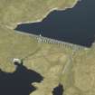
This reservoir has been formed by damming the River Shira, which here forms the boundary between the parishes of Glenorchy and Inishail (to the NW) and Inveraray (to the SE). The power station and transformer station fall within the former parish.
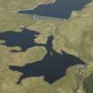
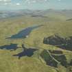
The location assigned to this record indicates the centre of the water area.
Information from RCAHMS (RJCM), 29 December 2005.
Note (26 October 2023)
The Shira scheme
Dams were built at Lochan Shira, Lochan Sron Mor and the reservoir supplying Allt na Lairige power station via a tunnel. Sron Mor power station is fed by an aqueduct from Lochan Shira. Aqueducts and a long tunnel supply Clachan underground power station at the top of Loch Fyne at a head of 965 feet. Sron Mor was supplied with pumping facilities in effect to give Clachan the advantage of pumped storage. The installed capacity of the scheme is 51MW. Construction took place between 1951 and 1959.
Information from NRHE item catalogue number WP007424, compiled by George Walker, 2005.


