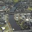
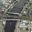
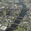
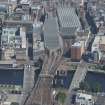
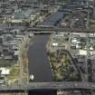
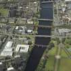
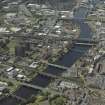
Glasgow, Upper Harbour, Glasgow Bridge, Old Bridges
Road Bridge(S) (18th Century)
Site Name Glasgow, Upper Harbour, Glasgow Bridge, Old Bridges
Classification Road Bridge(S) (18th Century)
Alternative Name(s) River Clyde; Telford's Bridge; Jamaica Bridge; Broomielaw Bridge; Jamaica Street; Clyde Street; Custom House Quay; Bridge Street; Carlton Place
Canmore ID 277748
Site Number NS56SE 2159
NGR NS 5876 6478
NGR Description NS c. 5876 6478
Datum OSGB36 - NGR
Permalink http://canmore.org.uk/site/277748
- Council Glasgow, City Of
- Parish Glasgow (City Of Glasgow)
- Former Region Strathclyde
- Former District City Of Glasgow
- Former County Lanarkshire
NS56SE 2159 c. 5876 6478
For successor and present bridge ('New Bridge'), see NS56SE 444.
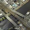
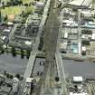
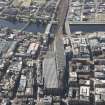
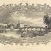
Glasgow (or Jamaica Street) Bridge. The first bridge on the site was Glasgow's second bridge over the Clyde, called Broomielaw Bridge and built 1768-72 to the design of William Mylne of Edinburgh, contractor John Adam of Glasgow. Telford's bridge replaced it in 1833-5 for reasons similar to those which caused his to be replaced in the 1890's.
E Williamson, A Riches and M Higgs 1990.
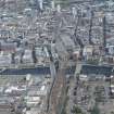
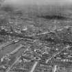
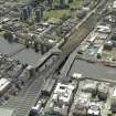
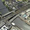
These bridges formerly carried a public road across the River Clyde, between Jamaica Street, Clyde Street, Custom House Quay and the Broomielaw (to the N), and Bridge Street and Carlton Place (to the S). The river here forms the boundary between the civil parishes of Glasgow (to the N) and Govan (to the S).
The location assigned to this record is derived from that of the present bridge.
Information from RCAHMS (RJCM), 19 December 2005.


