Pricing Change
New pricing for orders of material from this site will come into place shortly. Charges for supply of digital images, digitisation on demand, prints and licensing will be altered.
Upcoming Maintenance
Please be advised that this website will undergo scheduled maintenance on the following dates:
Thursday, 9 January: 11:00 AM - 3:00 PM
Thursday, 23 January: 11:00 AM - 3:00 PM
Thursday, 30 January: 11:00 AM - 3:00 PM
During these times, some functionality such as image purchasing may be temporarily unavailable. We apologise for any inconvenience this may cause.
Millhaugh
Enclosure (Period Unassigned)
Site Name Millhaugh
Classification Enclosure (Period Unassigned)
Alternative Name(s) Keltie Burn
Canmore ID 26706
Site Number NO01SW 34
NGR NO 00678 13952
Datum OSGB36 - NGR
Permalink http://canmore.org.uk/site/26706
- Council Perth And Kinross
- Parish Dunning
- Former Region Tayside
- Former District Perth And Kinross
- Former County Perthshire
NO01SW 34 00678 13952
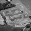
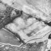
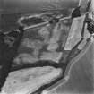
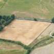
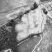
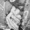
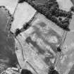
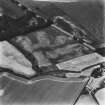
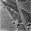
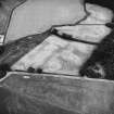
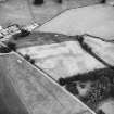
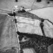
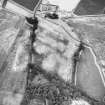
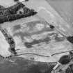
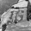
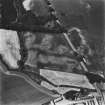
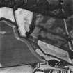
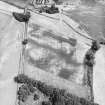
Aerial photography has revealed the cropmark of a narrow ditched circular enclosure measuring approximately 30m in diameter on the banks of the Keltie Burn, 200m SW of Millhaugh farmsteading (NO01SW 50.00). Cropmarks recorded in the same field include a ring-ditch and pits 90m to the NNW (NO01SW 36), and rig immediately to the N (NO01SW 68).
Information from RCAHMS (KB) 17 May 1999
Excavation (27 March 2017 - 4 April 2017)
Final fieldwork for the SERF project focused on a small group of cropmarks immediately to the W of Millhaugh. Following fieldwalking, test pitting and geophysical survey, which were conducted in previous years, two trenches (MH17.1 and MH17.2) were excavated, 27 March – 4 April 2017.
NO 00678 13952 (NO01SW 34) There were three concentric circular palisade enclosures, and internal stake defined palisade structures exposed in trench MH17.1. Based on comparative data from elsewhere, the features suggest a possible Iron Age date.
NO 00615 14044 (NO01SW 36) A mini-henge was revealed in the trench MH17.2, which has been provisionally attributed to the Bronze Age. Two midden pits cut the fills of the henge ditch. Thereafter, one of those pits and the henge ditch were cut by rig and furrow.
Archive: University of Glasgow (currently) and NRHE (intended)
Funder: Historic Environment Scotland and University of Glasgow
Dene Wright – University of Glasgow
(Source: DES, Volume 18)


