
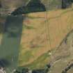
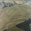
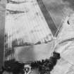
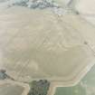
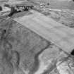
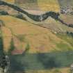
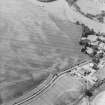
Forteviot


Enclosure (Period Unassigned)
Site Name Forteviot
Classification Enclosure (Period Unassigned)
Canmore ID 26568
Site Number NO01NE 36
NGR NO 05286 17344
Datum OSGB36 - NGR
Permalink http://canmore.org.uk/site/26568


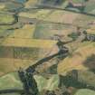


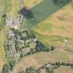


- Council Perth And Kinross
- Parish Forteviot
- Former Region Tayside
- Former District Perth And Kinross
- Former County Perthshire
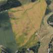
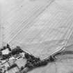
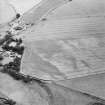
Aerial Photographic Transcription (16 May 1991 - 11 June 1991)
An aerial transcription was produced from oblique aerial photographs. Information from Historic Environment Scotland (BM) 31 March 2017.
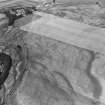
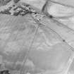
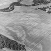
Aerial Photographic Transcription (29 January 2021)
An interpretative transcription, or mapping, of information on oblique aerial photographs was produced on 29 January 2021.
Information from HES Designations (Fiona Isobel Watson) 1 April 2022.

