
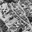
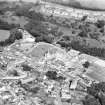
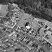
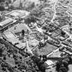
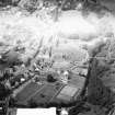
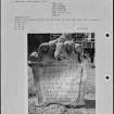
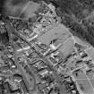
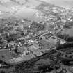
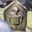
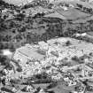
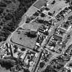
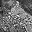
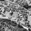
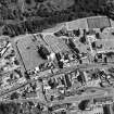
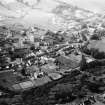
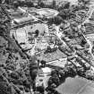
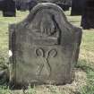
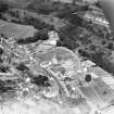
Lesmahagow, Church Square, Lesmahagow Parish Church, Churchyard


Burial Ground (19th Century), Churchyard (19th Century)
Site Name Lesmahagow, Church Square, Lesmahagow Parish Church, Churchyard
Classification Burial Ground (19th Century), Churchyard (19th Century)
Canmore ID 264765
Site Number NS83NW 1.02
NGR NS 81423 39910
Datum OSGB36 - NGR
Permalink http://canmore.org.uk/site/264765


- Council South Lanarkshire
- Parish Lesmahagow
- Former Region Strathclyde
- Former District Clydesdale
- Former County Lanarkshire
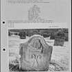
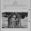
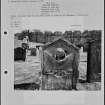
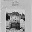
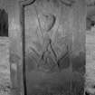
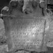
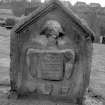
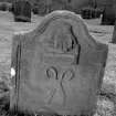
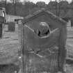
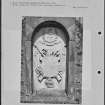
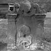
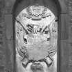
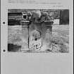
Surrounding churchyard to old Lesmahagow Church. Mostly 19th/ early 20th century, but some 18th gravemarkers have been recorded (S Scott) during documentation of the graveyard in the 1970s. Neo-classical mausoleum for the McKirdy family of Birkwood, burial enclosures for the Greensheilds amongst others.

